Exeter
Exeter/24/1308/CAT
42 St Davids Hill Exeter EX4 4DT
- Reference
- Exeter/24/1308/CAT
- Authority
- Exeter
- Application type
- CAT
- Address
- 42 St Davids Hill Exeter EX4 4DT
- Postcode
- EX4 4DT
- Status
- Permitted
- Decision
- Permitted
- Received
- 31 Oct 2024
- Validated
- 31 Oct 2024
- Started
- 31 Oct 2024
- Decided
- 28 Nov 2024
- Source council
- Exeter
- Council source record
- View public record
- Public data licence
- Open Government Licence v3.0
- Record updated
- 18 Jul 2026
- SEO index generated
- 24 Jul 2026
Location
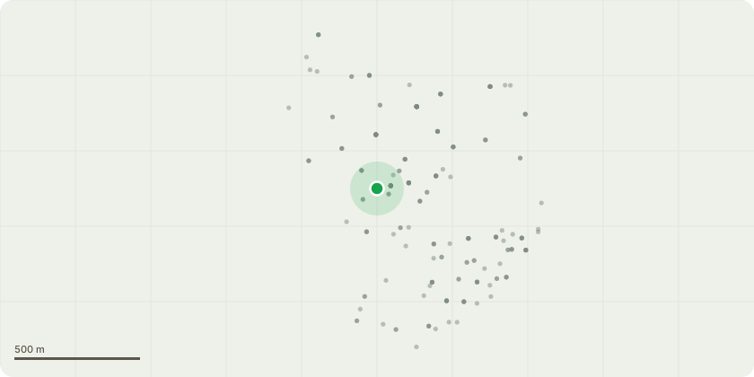
Approximate location
Proposal
T1 - 1 x Cherry tree - Reduce in height by 3m to suitable growth points. Reduce remaining canopy to match creating a neat and tidy shape.H1 - Hedge running from the entrance to Little Silver to number 44. To reduce the height of the hedge by 1 foot. To trim the annual growth on all other profiles.T2 - 1 x Wisteria - To trim the annual growth.T3 - 1 x Olive tree - To remove the rear stem back to the main union. Reduce in height by 1.5m to suitable growth points. Reduce remaining canopy to match creating a neat and tidy shape. Crown thin overall leaf bearing twig structure by approximately 15%.T4 & T5 - 2 x Bay tree - To trim the annual growth on all profiles to create a neat and tidy spherical shape.T6 - 1 x Fig tree - Reduce in height by 1.5m to suitable growth points. Reduce remaining canopy to match creating a neat and tidy shape. Crown thin overall leaf bearing twig structure by approximately 15%.These works are very minimal tree cutting trees in a small domestic garden. That a cyclic pruning regime is initiated to increase the longevity of the tree. Trees are being pruned and reduced to ensure they are a more manageable height and size. Hedge trimming is hard cut back of the annual growth.All pruning cuts to be made back to suitable growth points and will not 75mm in diameter.
Key dates
- Received 31 Oct 2024
- Validated 31 Oct 2024
- Started 31 Oct 2024
- Decided 28 Nov 2024
Planning history / related applications
No related planning applications have been identified in the current public OGL dataset.
Inside plotEdge
Go beyond the public record
This page is the public OGL record. plotEdge adds the private intelligence layer for this site - open it in the app to unlock:
- Ownership & title Registered owner and title from HM Land Registry.
- Viability & build potential Site scoring and development upside.
- Constraints Flood risk, green belt, conservation areas and designations.
- Approval signal Planning risk and approval-likelihood analysis.
- Comparable applications Decisions on similar nearby sites, side by side.
- Status alerts Get notified the moment this application changes.
Source: public planning application data from Exeter, reused under the Open Government Licence v3.0. View the council source record. Council documents and drawings are not republished on plotEdge.