Epsom and Ewell
Epsom and Ewell/25/00487/CAT
Frances Lodge 43 Woodcote Side Epsom Surrey KT18 7HB
- Reference
- Epsom and Ewell/25/00487/CAT
- Authority
- Epsom and Ewell
- Application type
- CAT
- Address
- Frances Lodge 43 Woodcote Side Epsom Surrey KT18 7HB
- Postcode
- KT18 7HB
- Status
- Decided
- Decision
- No Objections
- Received
- 24 Apr 2025
- Validated
- 24 Apr 2025
- Started
- 24 Apr 2025
- Decided
- 6 Jun 2025
- Source council
- Epsom and Ewell
- Council source record
- View public record
- Public data licence
- Open Government Licence v3.0
- Record updated
- 18 Jul 2026
- SEO index generated
- 24 Jul 2026
Location
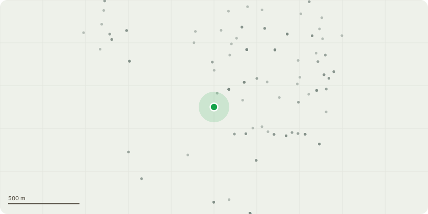
Approximate location
Proposal
On our premises there is one remaining Ash tree that has shown signs of ash dieback over the past few years, but hes shown a level of resistance. However this year the tree has grown no canopy and we are already seeing small to medium sized branches falling in the wind into our garden. We are very concerned that this may be a danger to life due to this overhanging a public path and a busy carriageway. We do not believe that this tree is subject to a TPO and shouldn't be classed as being in a conservation area but gievn there are sensitivities in the area to the felling of large trees we wanted to make it known to the council that we are going to remove the tree as we believe it is now a danger to life. This tree is already too close to our house / foundations so we have no intention to replace this tree with another similar sized tree. We will however plant shrubs, other plants or a smaller species of tree in the near future, that will not compromise the buildings adjacent. This will be done once the Ash stump / route system has had a chance to decompose.
Key dates
- Received 24 Apr 2025
- Validated 24 Apr 2025
- Started 24 Apr 2025
- Decided 6 Jun 2025
Planning history / related applications
No related planning applications have been identified in the current public OGL dataset.
Inside plotEdge
Go beyond the public record
This page is the public OGL record. plotEdge adds the private intelligence layer for this site - open it in the app to unlock:
- Ownership & title Registered owner and title from HM Land Registry.
- Viability & build potential Site scoring and development upside.
- Constraints Flood risk, green belt, conservation areas and designations.
- Approval signal Planning risk and approval-likelihood analysis.
- Comparable applications Decisions on similar nearby sites, side by side.
- Status alerts Get notified the moment this application changes.
Source: public planning application data from Epsom and Ewell, reused under the Open Government Licence v3.0. View the council source record. Council documents and drawings are not republished on plotEdge.