Epsom and Ewell
Epsom and Ewell/25/00464/TPO
25 Links Road Epsom Surrey KT17 3PP
- Reference
- Epsom and Ewell/25/00464/TPO
- Authority
- Epsom and Ewell
- Application type
- Tree preservation order
- Address
- 25 Links Road Epsom Surrey KT17 3PP
- Postcode
- KT17 3PP
- Status
- Unknown
- Decision
- Application Withdrawn
- Received
- 18 Apr 2025
- Validated
- 18 Apr 2025
- Started
- 18 Apr 2025
- Decided
- 29 May 2025
- Source council
- Epsom and Ewell
- Council source record
- View public record
- Public data licence
- Open Government Licence v3.0
- Record updated
- 18 Jul 2026
- SEO index generated
- 24 Jul 2026
Location
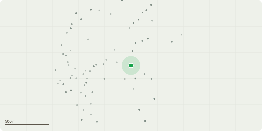
Approximate location
Proposal
This application is for the crown lift of mutiple TPO trees (32/T40 + 32/T39 + 32/T38) that boarder the site of 25 links road , epsom. The site is currently about to submit planning permission and the council have stated that a RPA needs to be installed around the permitter of the site prior to any work starting. This application is for a crown lift on all trees the consist of multiple Sycamore, Ash , Horse Chestnut and other tree species all covered by a blanket TPO. We would require a crown lift of 2.5m from ground level to be able to install protective fencing and ground protection to cover the RPA of the trees. With out the crown lift on only the side of the trees that overhang the site of rear of 25 links road the fencing could not possibly be installed. All work will be compliant with BS3998.
Key dates
- Received 18 Apr 2025
- Validated 18 Apr 2025
- Started 18 Apr 2025
- Decided 29 May 2025
Planning history / related applications
No related planning applications have been identified in the current public OGL dataset.
Inside plotEdge
Go beyond the public record
This page is the public OGL record. plotEdge adds the private intelligence layer for this site - open it in the app to unlock:
- Ownership & title Registered owner and title from HM Land Registry.
- Viability & build potential Site scoring and development upside.
- Constraints Flood risk, green belt, conservation areas and designations.
- Approval signal Planning risk and approval-likelihood analysis.
- Comparable applications Decisions on similar nearby sites, side by side.
- Status alerts Get notified the moment this application changes.
Source: public planning application data from Epsom and Ewell, reused under the Open Government Licence v3.0. View the council source record. Council documents and drawings are not republished on plotEdge.