Epsom and Ewell
Epsom and Ewell/24/01243/TPO
2 Cherry Way West Ewell Surrey KT19 9SP
- Reference
- Epsom and Ewell/24/01243/TPO
- Authority
- Epsom and Ewell
- Application type
- Tree preservation order
- Address
- 2 Cherry Way West Ewell Surrey KT19 9SP
- Postcode
- KT19 9SP
- Status
- Unknown
- Decision
- Application Withdrawn
- Received
- 26 Sept 2024
- Validated
- 26 Sept 2024
- Started
- 26 Sept 2024
- Decided
- 18 Oct 2024
- Source council
- Epsom and Ewell
- Council source record
- View public record
- Public data licence
- Open Government Licence v3.0
- Record updated
- 18 Jul 2026
- SEO index generated
- 24 Jul 2026
Location
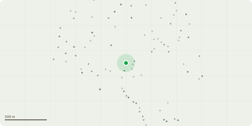
Approximate location
Proposal
TPO310/T6 - T1 Oak - to be replaced with one Silver Birch tree, at a girth size of 10-12 and 2.25m in height, in the rear garden of 2 Cherry Way, KT19 9SP, as per the condition from the Council's previous TPO consent letter 24/00791/TPOA replacement tree shall be planted in the rear garden of the subject propertyduring the dormant period following removal (November 2024-March 2025) . Thetree shall be 2m in height and selected from one of the following low waterdemand tree species:- Hornbeam- Silver BirchIf any tree(s) planted in accordance with this condition are removed, die or in theopinion of the local planning authority become seriously damaged or diseased,within a period of five years after planting, they shall be replaced in the nextavailable planting season with a new tree(s) of the same size, species andnumber, unless otherwise agreed in writing by the local planning authority.Reason: To maintain continuity of the tree resource for amenity in accordancewith Policies CS1 and CS5 of the Core Strategy (2007) and Policies DM5 andDM9 of the Development Management Policies 2015.
Key dates
- Received 26 Sept 2024
- Validated 26 Sept 2024
- Started 26 Sept 2024
- Decided 18 Oct 2024
Planning history / related applications
No related planning applications have been identified in the current public OGL dataset.
Inside plotEdge
Go beyond the public record
This page is the public OGL record. plotEdge adds the private intelligence layer for this site - open it in the app to unlock:
- Ownership & title Registered owner and title from HM Land Registry.
- Viability & build potential Site scoring and development upside.
- Constraints Flood risk, green belt, conservation areas and designations.
- Approval signal Planning risk and approval-likelihood analysis.
- Comparable applications Decisions on similar nearby sites, side by side.
- Status alerts Get notified the moment this application changes.
Source: public planning application data from Epsom and Ewell, reused under the Open Government Licence v3.0. View the council source record. Council documents and drawings are not republished on plotEdge.