Epsom and Ewell
Epsom and Ewell/24/00267/TPO
The Royal Automobile Country Club (RAC) Old Barn Road Epsom Surrey KT18 7EW
- Reference
- Epsom and Ewell/24/00267/TPO
- Authority
- Epsom and Ewell
- Application type
- Tree preservation order
- Address
- The Royal Automobile Country Club (RAC) Old Barn Road Epsom Surrey KT18 7EW
- Postcode
- KT18 7EW
- Status
- Decided
- Decision
- Application Permitted
- Received
- 8 Aug 2024
- Validated
- 8 Aug 2024
- Started
- 8 Aug 2024
- Decided
- 5 Feb 2025
- Source council
- Epsom and Ewell
- Council source record
- View public record
- Public data licence
- Open Government Licence v3.0
- Record updated
- 18 Jul 2026
- SEO index generated
- 24 Jul 2026
Location
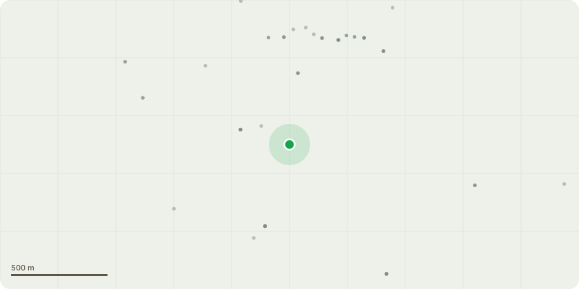
Approximate location
Proposal
Agreed Exempt Works :Map Zone 4 (within W1 of TPO 445)960 Z4 - Oak - Remove deadwood greater than 50mm diameter 961 Z4 - Sycamore - Remove deadwood greater than 60mm diameter 962 Z4 - Hornbeam- Remove deadwood 8m AGL965 Z4 - Dead Cherry - Fell to ground and remove arisings980 Z4 - Hornbeam - Remove deadwood greater than 50mm diameter.981 Z4 - Oak - Remove deadwood greater than 50mm diameter 982 Z4 - Oak - Remove deadwood greater than 60mm diameter T494 - Veteran Beech with advanced basal decay (see report) - Fell to ground or reduce to a 4m tall monolith Map Zone 3 (within W2 and A6 of TPO 19)1312 Z3 - Oak exit road - Advanced inspection and decay detection1326 Z3 - Oak exit road - Remove lower dead limb 1m from union1332 Z3 - Oak lakeside/behind arboretum - Advanced inspection and decay detectionConsent works : Map Zone 4 (within W1 of TPO 445)927 Z4 - Western red cedar - Fell to ground and remove arisings977 Z4 - Ash - Fell to ground and remove arisings9208 Z4 - Sweet chestnut - Fell to ground and remove arisingsMap Zone 3 (Within W2 of TPO19)1301 Z3 - Sycamore exit road - Reduce to 5m monolithRefer to tree dimensions and full specification of works in ref/PB/TCS-23/RAC
Key dates
- Received 8 Aug 2024
- Validated 8 Aug 2024
- Started 8 Aug 2024
- Decided 5 Feb 2025
Planning history / related applications
No related planning applications have been identified in the current public OGL dataset.
Inside plotEdge
Go beyond the public record
This page is the public OGL record. plotEdge adds the private intelligence layer for this site - open it in the app to unlock:
- Ownership & title Registered owner and title from HM Land Registry.
- Viability & build potential Site scoring and development upside.
- Constraints Flood risk, green belt, conservation areas and designations.
- Approval signal Planning risk and approval-likelihood analysis.
- Comparable applications Decisions on similar nearby sites, side by side.
- Status alerts Get notified the moment this application changes.
Source: public planning application data from Epsom and Ewell, reused under the Open Government Licence v3.0. View the council source record. Council documents and drawings are not republished on plotEdge.