Enfield
Enfield/26/02865/CND
Sports Ground Bull Lane London N18 1RA
- Reference
- Enfield/26/02865/CND
- Authority
- Enfield
- Application type
- CND
- Address
- Sports Ground Bull Lane London N18 1RA
- Postcode
- N18 1RA
- Status
- Application in Progress
- Received
- 7 Jul 2026
- Started
- 7 Jul 2026
- Source council
- Enfield
- Council source record
- View public record
- Public data licence
- Open Government Licence v3.0
- Record updated
- 18 Jul 2026
- SEO index generated
- 24 Jul 2026
Location
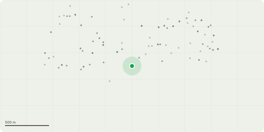
Approximate location
Proposal
Details submitted pursuant to reference 24/03470/FUL: archaeology public engagement (7) in respect of construction of a new build four-storey Selby Centre building comprising some 4795sqm (GEA) of multi- functional space for use by a range of community related activities (offices, meeting rooms, restaurant/ cafe and nursery, education, a new community hall and other flexible spaces for hire (Use classes F2(b), F1(a), E(b,d,g)); a new single storey sports pavilion (Class e(d)) comprising some 267.6 sqm (GEA) of floorspace and all associated plant and servicing infrastructure (including energy centre). A new vehicular access from Bull Lane; new/ replacement surface car and minibus parking; a floodlit 3-G playing pitch; a MUGA; a revised sports field layout (cricket and football); an outdoor gym; padel courts; children's play-spaces; community growing space; new wildlife areas and surface water attenuation pond; new and enhanced boundary treatments; enhanced pedestrian/ cycle entrances into the Park and a network of new/ enhanced pedestrian and cycle links within the Park and associated lighting.
Key dates
- Received 7 Jul 2026
- Started 7 Jul 2026
Planning history / related applications
No related planning applications have been identified in the current public OGL dataset.
Inside plotEdge
Go beyond the public record
This page is the public OGL record. plotEdge adds the private intelligence layer for this site - open it in the app to unlock:
- Ownership & title Registered owner and title from HM Land Registry.
- Viability & build potential Site scoring and development upside.
- Constraints Flood risk, green belt, conservation areas and designations.
- Approval signal Planning risk and approval-likelihood analysis.
- Comparable applications Decisions on similar nearby sites, side by side.
- Status alerts Get notified the moment this application changes.
Source: public planning application data from Enfield, reused under the Open Government Licence v3.0. View the council source record. Council documents and drawings are not republished on plotEdge.