Enfield
Enfield/25/01664/FUL
Lee Valley Golf Course And Camping & Caravan Park 61 Meridian Way Edmonton London N9 0AR
- Reference
- Enfield/25/01664/FUL
- Authority
- Enfield
- Application type
- Full permission
- Address
- Lee Valley Golf Course And Camping & Caravan Park 61 Meridian Way Edmonton London N9 0AR
- Postcode
- N9 0AR
- Status
- Decided
- Decision
- S106 - Granted with Conditions
- Received
- 7 May 2025
- Validated
- 7 May 2025
- Started
- 7 May 2025
- Decided
- 5 Feb 2026
- Source council
- Enfield
- Council source record
- View public record
- Public data licence
- Open Government Licence v3.0
- Record updated
- 18 Jul 2026
- SEO index generated
- 24 Jul 2026
Location
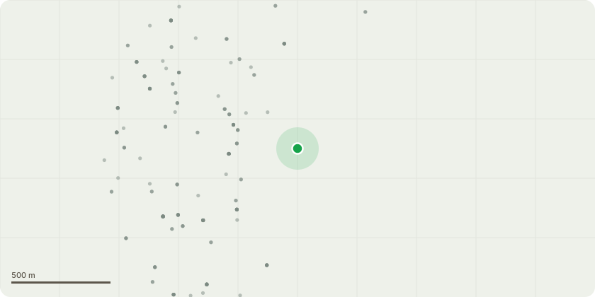
Approximate location
Proposal
Redevelopment of existing golf course and construction of a surfing complex comprising: (1) Outdoor surf lake (Use Class F2); (2) two-storey clubhouse including terraces, with cafe, surf shop, health and well-being facilities, changing facilities, offices (Use Class E), surfing operations and solar panels; (3) external plant, machine and store rooms structures for surf generation (Sui Generis); (4) renewal and alteration of existing campsite and the provision of additional accommodation and ancillary buildings (Sui Generis) with communal space; (5) use of land for pop up temporary outdoor events, with associated temporary structures; (6) free standing shelter with viewing deck; (7) engineering works including mounding and bunds; (8) public park, view point structure, pavilion and external play areas; (9) Pop up seasonal structures; (10) leisure facilities involving a pump track, skate bowl, sports courts, skate routes and external play areas; and (11) associated soft and hard landscaping, boundaries, lighting, flood lighting, parking and access routes.
Key dates
- Received 7 May 2025
- Validated 7 May 2025
- Started 7 May 2025
- Decided 5 Feb 2026
Planning history / related applications
No related planning applications have been identified in the current public OGL dataset.
Inside plotEdge
Go beyond the public record
This page is the public OGL record. plotEdge adds the private intelligence layer for this site - open it in the app to unlock:
- Ownership & title Registered owner and title from HM Land Registry.
- Viability & build potential Site scoring and development upside.
- Constraints Flood risk, green belt, conservation areas and designations.
- Approval signal Planning risk and approval-likelihood analysis.
- Comparable applications Decisions on similar nearby sites, side by side.
- Status alerts Get notified the moment this application changes.
Source: public planning application data from Enfield, reused under the Open Government Licence v3.0. View the council source record. Council documents and drawings are not republished on plotEdge.