Enfield
Enfield/24/02690/NMA
Southgate Office Village 286 Chase Road London N14 6HF
- Reference
- Enfield/24/02690/NMA
- Authority
- Enfield
- Application type
- Non-material amendment
- Address
- Southgate Office Village 286 Chase Road London N14 6HF
- Postcode
- N14 6HF
- Status
- Decided
- Decision
- Granted
- Received
- 8 Aug 2024
- Validated
- 8 Aug 2024
- Started
- 8 Aug 2024
- Decided
- 3 Oct 2024
- Source council
- Enfield
- Council source record
- View public record
- Public data licence
- Open Government Licence v3.0
- Record updated
- 18 Jul 2026
- SEO index generated
- 24 Jul 2026
Location
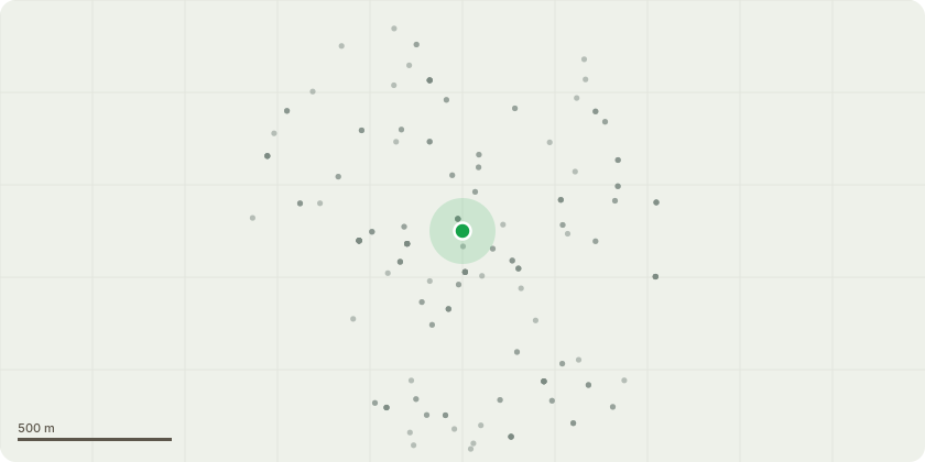
Approximate location
Proposal
Non-material amendment to 19/01941/FUL (APP/Q5300/W/21/3270885 ) for changes to conditions 6 and 14 to:"6) A) Prior to commencement of development, details of the existing ground levels shall be submitted to and approved in writing by the local planning authority. B) Prior to commencement of development (excluding demolition to slab level), details of the proposed ground levels, including the levels of any proposed buildings, roads and/or hard surfaced areas, shall be submitted to and approved in writing by the local planning authority. Development shall be carried out in accordance with the approved details.""14) Notwithstanding the details provided in the Drainage Impact Assessment (September 2019), development (excluding demolition to slab level) shall not commence until a final detailed Sustainable Drainage Strategy has been submitted to and approved in writing by the local planning authority. The details shall be based on the disposal of surface water by means of a sustainable drainage system in accordance with the principles as set out in the Technical Guidance to the National Planning Policy Framework and should be in line with DMD Policy SuDS Requirements and: (a) shall be designed to a 1 in 1 and 1 in 100 year storm event with the allowance for climate change; (b) follow the SuDS management train and London Plan Drainage Hierarchy by providing a number of treatment phases corresponding to their pollution potential; (c) provide source control SuDS measures across the site; (d) maximise opportunities for sustainable development, improve water quality, biodiversity, local amenity and recreation value; (e) must be designed to allow for flows that exceed the design capacity to be stored on site or conveyed off-site with minimum impact; (f) establish clear ownership, management and maintenance arrangements; and (g) details submitted shall include levels, sizing (calculations where necessary), cross sections and specifications for all drainage features."
Key dates
- Received 8 Aug 2024
- Validated 8 Aug 2024
- Started 8 Aug 2024
- Decided 3 Oct 2024
Planning history / related applications
No related planning applications have been identified in the current public OGL dataset.
Inside plotEdge
Go beyond the public record
This page is the public OGL record. plotEdge adds the private intelligence layer for this site - open it in the app to unlock:
- Ownership & title Registered owner and title from HM Land Registry.
- Viability & build potential Site scoring and development upside.
- Constraints Flood risk, green belt, conservation areas and designations.
- Approval signal Planning risk and approval-likelihood analysis.
- Comparable applications Decisions on similar nearby sites, side by side.
- Status alerts Get notified the moment this application changes.
Source: public planning application data from Enfield, reused under the Open Government Licence v3.0. View the council source record. Council documents and drawings are not republished on plotEdge.