Elmbridge
Elmbridge/2026/1657
Thraves Beech Close Cobham Surrey KT11 2EN
- Reference
- Elmbridge/2026/1657
- Authority
- Elmbridge
- Application type
- Tree Preservation Order
- Address
- Thraves Beech Close Cobham Surrey KT11 2EN
- Postcode
- KT11 2EN
- Status
- Registered
- Decision
- Not Available
- Received
- 7 Jul 2026
- Started
- 7 Jul 2026
- Source council
- Elmbridge
- Council source record
- View public record
- Public data licence
- Open Government Licence v3.0
- Record updated
- 30 Jul 2026
- SEO index generated
- 31 Jul 2026
Location
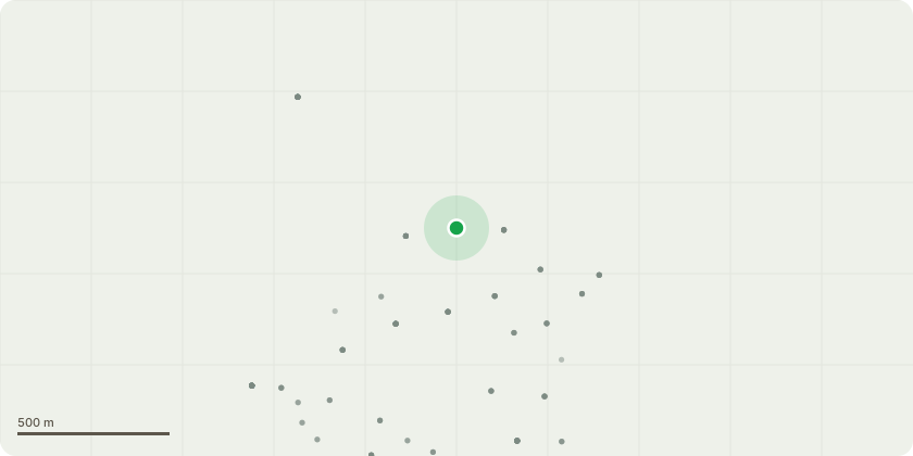
Approximate location
Proposal
Tree Preservation Order EL:11/29 - Proposed Works: Reduce the height of three mature Scots Pine trees (G6 on map) located within the front driveway area by approximately 3-4 metres, to suitable growth points and whilst retaining a balanced and natural shape in keeping with the species. Reason for Works: The trees are approximately 23 metres in height and are positioned in close proximity to the dwelling and garage structures. Due to their size, they are within falling distance of both the property and neighbouring properties. The proposed reduction works are intended to lower the overall sail area of the crowns, helping to reduce wind resistance during periods of severe weather and minimise the risk of branch or structural failure during storms. The works will also assist in maintaining the trees in a safe and balanced condition, improving their overall appearance and supporting their long-term health and longevity. In addition, the trees are located close to existing mains drainage infrastructure. As the trees continue to mature and increase in size, there is concern that further root development could potentially affect the drainage system. The proposed works therefore form part of a proactive management approach to reduce future risks to both the property and underground services while retaining the trees as important landscape features.
Key dates
- Received 7 Jul 2026
- Started 7 Jul 2026
Planning history / related applications
No related planning applications have been identified in the current public OGL dataset.
Inside plotEdge
Go beyond the public record
This page is the public OGL record. plotEdge adds the private intelligence layer for this site - open it in the app to unlock:
- Ownership & title Registered owner and title from HM Land Registry.
- Viability & build potential Site scoring and development upside.
- Constraints Flood risk, green belt, conservation areas and designations.
- Approval signal Planning risk and approval-likelihood analysis.
- Comparable applications Decisions on similar nearby sites, side by side.
- Status alerts Get notified the moment this application changes.
Source: public planning application data from Elmbridge, reused under the Open Government Licence v3.0. View the council source record. Council documents and drawings are not republished on plotEdge.