Elmbridge
Elmbridge/2026/1456
1 Speer Road Thames Ditton Surrey KT7 0PJ
- Reference
- Elmbridge/2026/1456
- Authority
- Elmbridge
- Application type
- Tree Conservation Area
- Address
- 1 Speer Road Thames Ditton Surrey KT7 0PJ
- Postcode
- KT7 0PJ
- Status
- Final Decision
- Decision
- Raise No Objection
- Received
- 16 Jun 2026
- Started
- 16 Jun 2026
- Decided
- 6 Jul 2026
- Source council
- Elmbridge
- Council source record
- View public record
- Public data licence
- Open Government Licence v3.0
- Record updated
- 18 Jul 2026
- SEO index generated
- 24 Jul 2026
Location
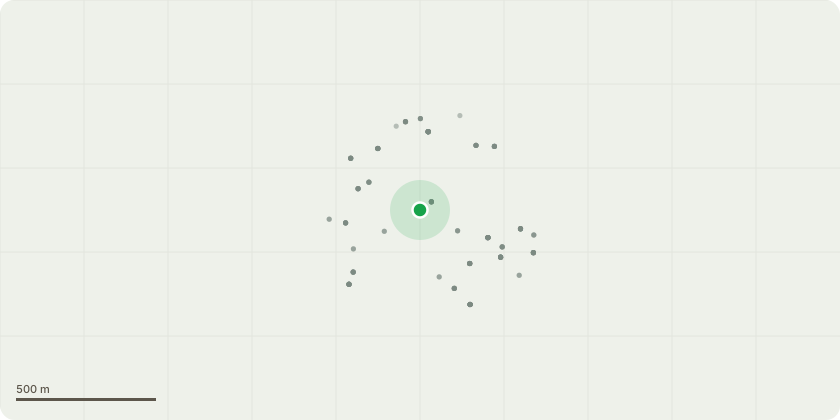
Approximate location
Proposal
Thames Ditton Conservation Area - T1 - Crab Apple - Remove Crab Apple to ground level. Current dimensions: Height 6m (20ft), crown spread 5.2m (17ft). Reason for works: The Crab Apple is growing in an unsuitable location within a relatively confined garden and has now outgrown the available space. The tree is becoming dominant within the garden, restricting light and competing with surrounding ornamental plants and trees. The rear boundary of the property adjoins a railway corridor containing a substantial belt of mature trees of mixed species. As a result of competition for light from these neighbouring trees, the Crab Apple has developed an asymmetric crown form and is increasingly growing inwards towards the garden. The removal of the Crab Apple will improve the growing conditions for the surrounding vegetation and allow for better management of the garden space. The loss of this individual tree is not considered to have a significant impact on the visual amenity of the area due to the extensive tree cover beyond the rear boundary, which includes a diverse range of mature species such as Ash, Walnut, Cherry and Honey Locust. The proposed works are therefore considered reasonable arboricultural management and will not adversely affect the character or appearance of the locality.
Key dates
- Received 16 Jun 2026
- Started 16 Jun 2026
- Decided 6 Jul 2026
Planning history / related applications
No related planning applications have been identified in the current public OGL dataset.
Inside plotEdge
Go beyond the public record
This page is the public OGL record. plotEdge adds the private intelligence layer for this site - open it in the app to unlock:
- Ownership & title Registered owner and title from HM Land Registry.
- Viability & build potential Site scoring and development upside.
- Constraints Flood risk, green belt, conservation areas and designations.
- Approval signal Planning risk and approval-likelihood analysis.
- Comparable applications Decisions on similar nearby sites, side by side.
- Status alerts Get notified the moment this application changes.
Source: public planning application data from Elmbridge, reused under the Open Government Licence v3.0. View the council source record. Council documents and drawings are not republished on plotEdge.