Elmbridge
Elmbridge/2026/1100
47 Arbrook Lane Esher Surrey KT10 9EG
- Reference
- Elmbridge/2026/1100
- Authority
- Elmbridge
- Application type
- Tree Preservation Order
- Address
- 47 Arbrook Lane Esher Surrey KT10 9EG
- Postcode
- KT10 9EG
- Status
- Final Decision
- Decision
- Grant Consent
- Received
- 8 May 2026
- Started
- 8 May 2026
- Decided
- 18 Jun 2026
- Source council
- Elmbridge
- Council source record
- View public record
- Public data licence
- Open Government Licence v3.0
- Record updated
- 18 Jul 2026
- SEO index generated
- 24 Jul 2026
Location
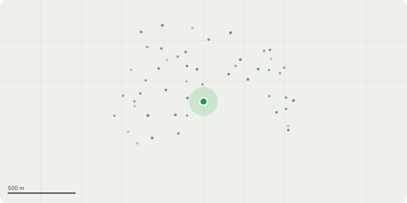
Approximate location
Proposal
Tree Preservation Order EL:89/20 - Tree Cedar (Cedrus species) Proposed works:Carry out a sympathetic crown reduction by approximately 1.5 2 metres, reducing end weight throughout the canopy whilst retaining the trees natural shape and flowing branch structure. Selectively thin the previously pruned section extending toward the neighbouring property to reduce canopy density and improve light penetration and airflow. Remove any deadwood and lightly reshape the crown as part of ongoing maintenance. Reason for works:The tree is a large mature specimen situated in close proximity to neighbouring properties and surrounding structures. Previous pruning works to one side of the canopy have resulted in dense regrowth and increased canopy weight within this area. The proposed works are intended to reduce end weight on extended limbs, lessen loading over adjacent properties, improve light penetration and airflow within the crown, and maintain the tree at an appropriate size for its location whilst preserving the trees overall health, balance and amenity value.
Key dates
- Received 8 May 2026
- Started 8 May 2026
- Decided 18 Jun 2026
Planning history / related applications
No related planning applications have been identified in the current public OGL dataset.
Inside plotEdge
Go beyond the public record
This page is the public OGL record. plotEdge adds the private intelligence layer for this site - open it in the app to unlock:
- Ownership & title Registered owner and title from HM Land Registry.
- Viability & build potential Site scoring and development upside.
- Constraints Flood risk, green belt, conservation areas and designations.
- Approval signal Planning risk and approval-likelihood analysis.
- Comparable applications Decisions on similar nearby sites, side by side.
- Status alerts Get notified the moment this application changes.
Source: public planning application data from Elmbridge, reused under the Open Government Licence v3.0. View the council source record. Council documents and drawings are not republished on plotEdge.