Elmbridge
Elmbridge/2026/0748
Lion Cottage 37 Tilt Road Cobham Surrey KT11 3EZ
- Reference
- Elmbridge/2026/0748
- Authority
- Elmbridge
- Application type
- Tree Conservation Area
- Address
- Lion Cottage 37 Tilt Road Cobham Surrey KT11 3EZ
- Postcode
- KT11 3EZ
- Status
- Final Decision
- Decision
- Raise No Objection
- Received
- 30 Mar 2026
- Started
- 30 Mar 2026
- Decided
- 28 Apr 2026
- Source council
- Elmbridge
- Council source record
- View public record
- Public data licence
- Open Government Licence v3.0
- Record updated
- 18 Jul 2026
- SEO index generated
- 24 Jul 2026
Location
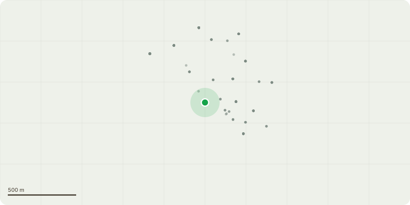
Approximate location
Proposal
Cobham The Tilt Conservation Area - Per the tree locations and numbering in the sketch provided, a description of the tree and the work I wish to carry out is as follows: Tree 1: This tree has died, it is a non-native tropical/sub-tropical tree (I do not know the precise type) and did not survive the 2024/25 winter. It is now deteriorating rapidly; bark is peeling off and branches are falling. The intended work is to fell the tree and dig out the remaining stump. I intend to plant a Magnolia in the approximate location. Please note, this tree is owned by me. Tree 2: I do not know the type of tree. It is a large part of a tree from a neighbouring property (41 Tilt Road) that fell during a storm, smashing the fence at the bottom of my garden that now needs replacing. The remains of the tree (on the neighbouring property) has survived and will not be touched. I am looking to remove the fallen element of the tree that is on my property in order to allow me to replace my fence. Please note that the fallen tree is dangerous, it is also deteriorating and shifting as it does; if not removed it is possible that it will fall towards the boundary with 41 Tilt Road and smash the fence between the two properties leading to further remedial fencing work being required. Please note, as mentioned above, the tree is on a neighbouring property; it is not owned by me, i have provided the contact details for the owner in the next section (this applies to this tree only, it does not apply to tree 1).
Key dates
- Received 30 Mar 2026
- Started 30 Mar 2026
- Decided 28 Apr 2026
Planning history / related applications
No related planning applications have been identified in the current public OGL dataset.
Inside plotEdge
Go beyond the public record
This page is the public OGL record. plotEdge adds the private intelligence layer for this site - open it in the app to unlock:
- Ownership & title Registered owner and title from HM Land Registry.
- Viability & build potential Site scoring and development upside.
- Constraints Flood risk, green belt, conservation areas and designations.
- Approval signal Planning risk and approval-likelihood analysis.
- Comparable applications Decisions on similar nearby sites, side by side.
- Status alerts Get notified the moment this application changes.
Source: public planning application data from Elmbridge, reused under the Open Government Licence v3.0. View the council source record. Council documents and drawings are not republished on plotEdge.