Elmbridge
Elmbridge/2026/0429
48 Rosslyn Park Weybridge Surrey KT13 9QZ
- Reference
- Elmbridge/2026/0429
- Authority
- Elmbridge
- Application type
- Tree Preservation Order
- Address
- 48 Rosslyn Park Weybridge Surrey KT13 9QZ
- Postcode
- KT13 9QZ
- Status
- Final Decision
- Decision
- Grant Consent
- Received
- 19 Feb 2026
- Started
- 19 Feb 2026
- Decided
- 14 Apr 2026
- Source council
- Elmbridge
- Council source record
- View public record
- Public data licence
- Open Government Licence v3.0
- Record updated
- 18 Jul 2026
- SEO index generated
- 24 Jul 2026
Location
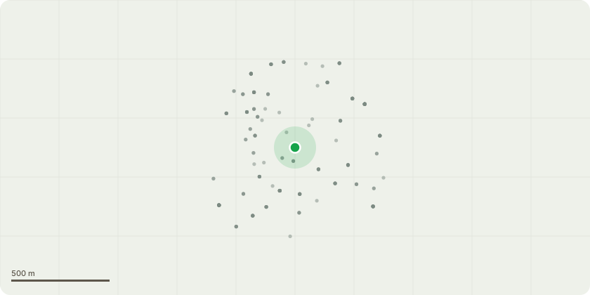
Approximate location
Proposal
Tree Preservation Order - WAL:3/71 T41 and EL:00/04 T1 beech, located on a shared rear boundary in a private residential garden. Public amenity; is moderate, both trees provide a significant backdrop offering visual interest and depth, softening the appearance of surrounding buildings. Both trees have been pruned in the past however, in a way beyond that agreed in 1999. Considering this the trees have been pruned twice (in their history), best practice could be observed with continued pruning, this time maintaining a flowing crown with no stubs. Reason for pruning: There are 2 beech trees on site, dominant features of the property. Beech is capable of 20m+ in height and considerable spread, a species known for its tall broad appearance and dense canopy, shading out competing understorey growth. Pruning is requested to maintain both trees at a reasonable size suitable to their location, balancing leisurely use of the private garden with amenity. Both trees would retain a flowing outline at a decreased size, retaining their moderate visibility using smaller pruning cuts with earlier intervention. Proposed work: 1.5m crown reduction observing BS 3998:2010 i.e., Pruning cuts (>30mm diameter) will be up to one third the diameter of the parent branch at suitable growth points, leaving a flowing crown outline with no stubs.
Key dates
- Received 19 Feb 2026
- Started 19 Feb 2026
- Decided 14 Apr 2026
Planning history / related applications
No related planning applications have been identified in the current public OGL dataset.
Inside plotEdge
Go beyond the public record
This page is the public OGL record. plotEdge adds the private intelligence layer for this site - open it in the app to unlock:
- Ownership & title Registered owner and title from HM Land Registry.
- Viability & build potential Site scoring and development upside.
- Constraints Flood risk, green belt, conservation areas and designations.
- Approval signal Planning risk and approval-likelihood analysis.
- Comparable applications Decisions on similar nearby sites, side by side.
- Status alerts Get notified the moment this application changes.
Source: public planning application data from Elmbridge, reused under the Open Government Licence v3.0. View the council source record. Council documents and drawings are not republished on plotEdge.