Elmbridge
Elmbridge/2026/0248
4 Athlone Albany Crescent Claygate Esher Surrey KT10 0DQ
- Reference
- Elmbridge/2026/0248
- Authority
- Elmbridge
- Application type
- Tree Preservation Order
- Address
- 4 Athlone Albany Crescent Claygate Esher Surrey KT10 0DQ
- Postcode
- KT10 0DQ
- Status
- Final Decision
- Decision
- Grant Consent
- Received
- 30 Jan 2026
- Started
- 30 Jan 2026
- Decided
- 6 Mar 2026
- Source council
- Elmbridge
- Council source record
- View public record
- Public data licence
- Open Government Licence v3.0
- Record updated
- 18 Jul 2026
- SEO index generated
- 24 Jul 2026
Location
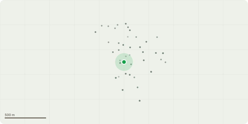
Approximate location
Proposal
ELM:40 - T1 Extra large Plane tree in rear garden. This Plane tree was previously reduced in July 2018, PP-06531312 . Client would like to repeat the same management as before, namely, reduction pruning of whole canopy by 1-2m to previous (2018) points using pruning methods and techniques commensurate with BS3998. Crown lift canopy over private gardens up to 3m from ground level, pruning the pendulous third order growth and above only. Crown lift canopy over garage buildings up to 3m from structures, pruning the pendulous third order growth and above only. Please see photos for additional guidance on what pruning is proposed. Final height to be no less than 20m, width no less than 14m. Reason: Our intention is to retain a good aesthetic shape, true to form where possible, as has been done previously. Still growing vigorously, without regular size management this tree will dominate the garden and adversely affect the amount of light getting to the rear of the property. There is no doubt this tree is exceptional in its location and a visual asset to the local community. A request to repeat reduction pruning 8 years after it has previously been done is not unreasonable.
Key dates
- Received 30 Jan 2026
- Started 30 Jan 2026
- Decided 6 Mar 2026
Planning history / related applications
No related planning applications have been identified in the current public OGL dataset.
Inside plotEdge
Go beyond the public record
This page is the public OGL record. plotEdge adds the private intelligence layer for this site - open it in the app to unlock:
- Ownership & title Registered owner and title from HM Land Registry.
- Viability & build potential Site scoring and development upside.
- Constraints Flood risk, green belt, conservation areas and designations.
- Approval signal Planning risk and approval-likelihood analysis.
- Comparable applications Decisions on similar nearby sites, side by side.
- Status alerts Get notified the moment this application changes.
Source: public planning application data from Elmbridge, reused under the Open Government Licence v3.0. View the council source record. Council documents and drawings are not republished on plotEdge.