Elmbridge
Elmbridge/2025/2813
12 Tudor Close Cobham Surrey KT11 2PH
- Reference
- Elmbridge/2025/2813
- Authority
- Elmbridge
- Application type
- Tree Preservation Order
- Address
- 12 Tudor Close Cobham Surrey KT11 2PH
- Postcode
- KT11 2PH
- Status
- Final Decision
- Decision
- Refuse Proposed Tree Work
- Received
- 30 Oct 2025
- Started
- 30 Oct 2025
- Decided
- 13 Jan 2026
- Source council
- Elmbridge
- Council source record
- View public record
- Public data licence
- Open Government Licence v3.0
- Record updated
- 18 Jul 2026
- SEO index generated
- 24 Jul 2026
Location
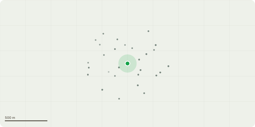
Approximate location
Proposal
Tree Preservation Order EL:09/13:Proposed Works: Selectively reduce lateral limbs overhanging the applicant's property by up to 3 m, targeting the longest and heaviest sections to alleviate end weight and reduce leverage on the main scaffold limbs. Pruning will follow BS 3998:2010 Tree Work Recommendations, maintaining a natural crown outline and good growth points. The works will rebalance the canopy, lessen mechanical loading, and improve long-term structural stability while retaining the tree's amenity and health.Justification for Works: The oak is a mature specimen displaying a pronounced lean and asymmetrical crown, with several large lateral limbs extending heavily over the applicant's driveway and vehicles. The crown is significantly weighted on the side facing the applicant's property, increasing mechanical stress on the primary scaffold limbs and contributing to structural imbalance. A large beech tree previously failed on the same site, falling onto the adjacent house. This has raised understandable concerns for both the tree owner and the neighbouring property owner regarding the potential risk of limb failure from this oak, particularly during high winds or adverse weather conditions.
Key dates
- Received 30 Oct 2025
- Started 30 Oct 2025
- Decided 13 Jan 2026
Planning history / related applications
No related planning applications have been identified in the current public OGL dataset.
Inside plotEdge
Go beyond the public record
This page is the public OGL record. plotEdge adds the private intelligence layer for this site - open it in the app to unlock:
- Ownership & title Registered owner and title from HM Land Registry.
- Viability & build potential Site scoring and development upside.
- Constraints Flood risk, green belt, conservation areas and designations.
- Approval signal Planning risk and approval-likelihood analysis.
- Comparable applications Decisions on similar nearby sites, side by side.
- Status alerts Get notified the moment this application changes.
Source: public planning application data from Elmbridge, reused under the Open Government Licence v3.0. View the council source record. Council documents and drawings are not republished on plotEdge.