Elmbridge
Elmbridge/2025/2774
9 Lebanon Drive Cobham Surrey KT11 2PR
- Reference
- Elmbridge/2025/2774
- Authority
- Elmbridge
- Application type
- Tree Preservation Order
- Address
- 9 Lebanon Drive Cobham Surrey KT11 2PR
- Postcode
- KT11 2PR
- Status
- Final Decision
- Decision
- Grant Consent
- Received
- 27 Oct 2025
- Started
- 27 Oct 2025
- Decided
- 2 Jan 2026
- Source council
- Elmbridge
- Council source record
- View public record
- Public data licence
- Open Government Licence v3.0
- Record updated
- 18 Jul 2026
- SEO index generated
- 24 Jul 2026
Location
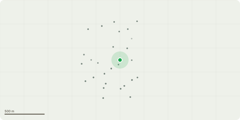
Approximate location
Proposal
Tree Preservation Order EL:239 - T1 - Scot pine - Fell to ground level and replace - Reason for Work Description: The owner has observed noticeable movement of the Scots pine, including a change in lean and displacement relative to its original position. During the site visit, evidence of previous ground movement around the base was also recorded. Neighbours have additionally reported that the tree appears to have moved closer to adjacent trees, suggesting potential root plate instability. The crown foliage is now sparse, indicating a possible decline in the tree???s overall vitality. Given the combination of ground movement, reduced crown condition, and the associated risk of structural failure, the proposed work is to fell the Scots pine to ground level in the interest of safety. A suitable replacement tree will be replanted in accordance with TPO requirements.
Key dates
- Received 27 Oct 2025
- Started 27 Oct 2025
- Decided 2 Jan 2026
Planning history / related applications
No related planning applications have been identified in the current public OGL dataset.
Inside plotEdge
Go beyond the public record
This page is the public OGL record. plotEdge adds the private intelligence layer for this site - open it in the app to unlock:
- Ownership & title Registered owner and title from HM Land Registry.
- Viability & build potential Site scoring and development upside.
- Constraints Flood risk, green belt, conservation areas and designations.
- Approval signal Planning risk and approval-likelihood analysis.
- Comparable applications Decisions on similar nearby sites, side by side.
- Status alerts Get notified the moment this application changes.
Source: public planning application data from Elmbridge, reused under the Open Government Licence v3.0. View the council source record. Council documents and drawings are not republished on plotEdge.