Elmbridge
Elmbridge/2025/2742
8 Riverside Cottages Manor Road Walton-On-Thames Surrey KT12 2PF
- Reference
- Elmbridge/2025/2742
- Authority
- Elmbridge
- Application type
- Tree Preservation Order
- Address
- 8 Riverside Cottages Manor Road Walton-On-Thames Surrey KT12 2PF
- Postcode
- KT12 2PF
- Status
- Final Decision
- Decision
- Grant Consent
- Received
- 21 Oct 2025
- Started
- 21 Oct 2025
- Decided
- 9 Dec 2025
- Source council
- Elmbridge
- Council source record
- View public record
- Public data licence
- Open Government Licence v3.0
- Record updated
- 18 Jul 2026
- SEO index generated
- 24 Jul 2026
Location
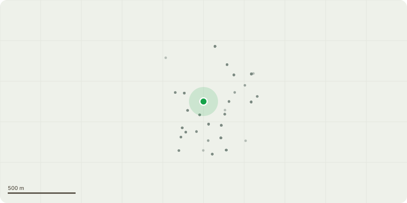
Approximate location
Proposal
Tree Preservation Order EL:02/15 - G1 Ash x1 and Sycamore x 2 northern aspect of garden. Ivy clad stems makes Visual tree assessment limited. No Fruiting fungle bodies apparent, at time of inspection. 1 x Northern most Sycamore is fair with good vitality shown by dense leaf and twig structure. Reduce Northern and eastern canopy to maintain a 2m clearance from neighbouring dwelling. 1 x Sycamore in extensive decline when compared to neighbouring tree, same species 1 x Ash Class 3 / 4 Ash Dieback Fell dead Sycamore and Declining Ash, (customer to replant replacement tree) T1 Ash North Eastern aspect of garden. Ash Dieback Class 1 Northern lateral branch work encroaching on neighbouring dwelling Remove all major deadwood, create a clearance of 3m from neighbouring dwelling. No works to be carried out without consent from local authority Given the location of the trees, TTS will dismantle them with mechanical aids, in order to lift the trees out of the garden area. We will therefore require the council to prevent parking for 1 x day on the Northern boundary. (Further cost may apply). Pruning works will be carried out by the use of work positioning techniques
Key dates
- Received 21 Oct 2025
- Started 21 Oct 2025
- Decided 9 Dec 2025
Planning history / related applications
No related planning applications have been identified in the current public OGL dataset.
Inside plotEdge
Go beyond the public record
This page is the public OGL record. plotEdge adds the private intelligence layer for this site - open it in the app to unlock:
- Ownership & title Registered owner and title from HM Land Registry.
- Viability & build potential Site scoring and development upside.
- Constraints Flood risk, green belt, conservation areas and designations.
- Approval signal Planning risk and approval-likelihood analysis.
- Comparable applications Decisions on similar nearby sites, side by side.
- Status alerts Get notified the moment this application changes.
Source: public planning application data from Elmbridge, reused under the Open Government Licence v3.0. View the council source record. Council documents and drawings are not republished on plotEdge.