Elmbridge
Elmbridge/2025/2691
The Little Lodge Watts Road Thames Ditton Surrey KT7 0BX
- Reference
- Elmbridge/2025/2691
- Authority
- Elmbridge
- Application type
- Tree Preservation Order
- Address
- The Little Lodge Watts Road Thames Ditton Surrey KT7 0BX
- Postcode
- KT7 0BX
- Status
- Final Decision
- Decision
- Grant Consent
- Received
- 15 Oct 2025
- Started
- 15 Oct 2025
- Decided
- 10 Dec 2025
- Source council
- Elmbridge
- Council source record
- View public record
- Public data licence
- Open Government Licence v3.0
- Record updated
- 18 Jul 2026
- SEO index generated
- 24 Jul 2026
Location
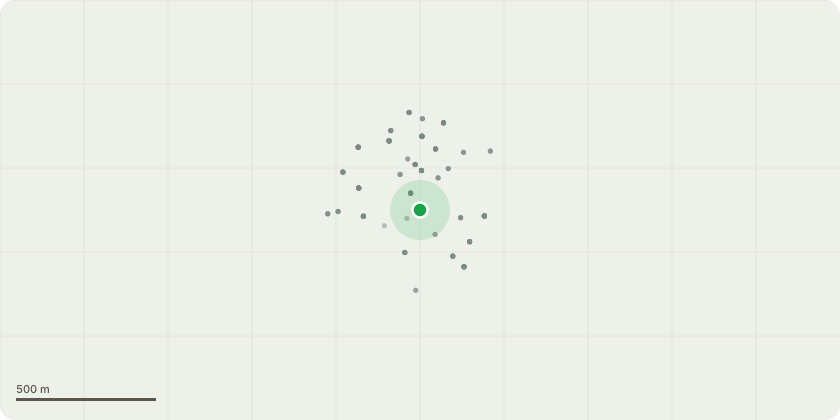
Approximate location
Proposal
Tree Preservation Order ESH:52 - The tree is exhibiting signs of both physical and physiological decline. I consider it likely that both are connected by a fungal pathogen or pathogens which are actively degrading both the tree's biomechanical structure and its vascular network. This is evident in the area of decayed wood and dysfunction visible at the base of the tree and in the dieback and poor foliar coverage in the crown. In my opinion, it is likely that the degradation of the wood at the base of the tree is now compromising the tree's ability to withstand wind loading. There are no treatment or pruning options likely to result in tree recovery due to the extent of dieback and the size and maturity of the tree. The dieback, poor foliar coverage, and lack of epicormic growth demonstrates low vitality within the tree and suggests that there is little opportunity for recovery at this late stage. As such I do not consider pruning to be a viable option to allow safe retention of the tree. Recommendations Fell tree.
Key dates
- Received 15 Oct 2025
- Started 15 Oct 2025
- Decided 10 Dec 2025
Planning history / related applications
No related planning applications have been identified in the current public OGL dataset.
Inside plotEdge
Go beyond the public record
This page is the public OGL record. plotEdge adds the private intelligence layer for this site - open it in the app to unlock:
- Ownership & title Registered owner and title from HM Land Registry.
- Viability & build potential Site scoring and development upside.
- Constraints Flood risk, green belt, conservation areas and designations.
- Approval signal Planning risk and approval-likelihood analysis.
- Comparable applications Decisions on similar nearby sites, side by side.
- Status alerts Get notified the moment this application changes.
Source: public planning application data from Elmbridge, reused under the Open Government Licence v3.0. View the council source record. Council documents and drawings are not republished on plotEdge.