Elmbridge
Elmbridge/2025/2617
Wardur House 19 Ashley Park Road Walton-On-Thames Surrey KT12 1JN
- Reference
- Elmbridge/2025/2617
- Authority
- Elmbridge
- Application type
- Tree Preservation Order
- Address
- Wardur House 19 Ashley Park Road Walton-On-Thames Surrey KT12 1JN
- Postcode
- KT12 1JN
- Status
- Final Decision
- Decision
- Grant Consent
- Received
- 8 Oct 2025
- Started
- 8 Oct 2025
- Decided
- 25 Nov 2025
- Source council
- Elmbridge
- Council source record
- View public record
- Public data licence
- Open Government Licence v3.0
- Record updated
- 18 Jul 2026
- SEO index generated
- 24 Jul 2026
Location
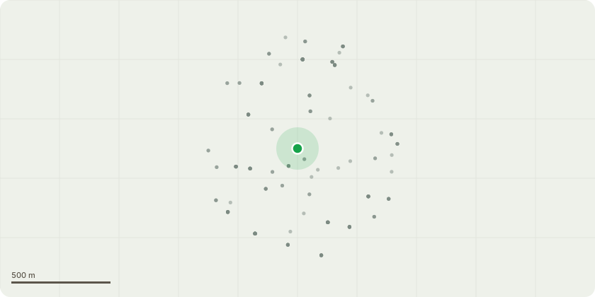
Approximate location
Proposal
EL:08/21 - Glendale attended the site (Wardur House) to conduct a detailed inspection of the tree (T1311 Common Beech). During the last inspection in January the following was noted by our inspector: Ganoderma sp. fungal bracket at approximately 4.5m Bark loss on upper side of lower laterals, possible decay entry point. Bracing observed at approximately 15m date of installation or last inspection unknown. When I arrived on site it was clear the physiological condition of the tree was deteriorating, the upper crown had small and discolored leaves and generally the canopy was sparse, additionally to this we noted: Ganoderma sp. fungal bracket at ground level south-east, another at 4.5m south at primary union. Meripilus giganteus fungal bracket at ground level north, unable to insert probe beyond 4cm but mallet indicates some internal dysfunction. Trunk seam runs from ground level to 5m north side, hammer indicates some internal dysfunction. Significant peripheral dieback within the upper crown and general sparse leaf coverage with small leaves for time of year, cable bracing installed within the upper crown but not supporting the main union where any failure is likely to occur. The tree has been assessed to be an Amber QTRA risk rating meaning it is only acceptable if not imposed on others, due to the location and targets associated with the tree our recommendation is to remove it as a high priority.
Key dates
- Received 8 Oct 2025
- Started 8 Oct 2025
- Decided 25 Nov 2025
Planning history / related applications
No related planning applications have been identified in the current public OGL dataset.
Inside plotEdge
Go beyond the public record
This page is the public OGL record. plotEdge adds the private intelligence layer for this site - open it in the app to unlock:
- Ownership & title Registered owner and title from HM Land Registry.
- Viability & build potential Site scoring and development upside.
- Constraints Flood risk, green belt, conservation areas and designations.
- Approval signal Planning risk and approval-likelihood analysis.
- Comparable applications Decisions on similar nearby sites, side by side.
- Status alerts Get notified the moment this application changes.
Source: public planning application data from Elmbridge, reused under the Open Government Licence v3.0. View the council source record. Council documents and drawings are not republished on plotEdge.