Elmbridge
Elmbridge/2025/2615
Miles End 28 Ashcroft Park Cobham Surrey KT11 2DN
- Reference
- Elmbridge/2025/2615
- Authority
- Elmbridge
- Application type
- Tree Preservation Order
- Address
- Miles End 28 Ashcroft Park Cobham Surrey KT11 2DN
- Postcode
- KT11 2DN
- Status
- Final Decision
- Decision
- Grant Consent
- Received
- 8 Oct 2025
- Started
- 8 Oct 2025
- Decided
- 25 Nov 2025
- Source council
- Elmbridge
- Council source record
- View public record
- Public data licence
- Open Government Licence v3.0
- Record updated
- 18 Jul 2026
- SEO index generated
- 24 Jul 2026
Location
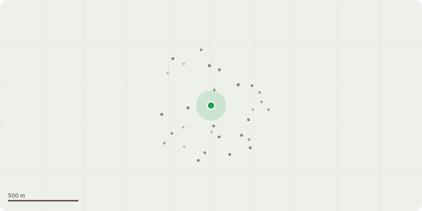
Approximate location
Proposal
Tree Preservation Order EL:11/05 - T1 - The subject tree is a large, mature Lime that has been previously pollarded and has since produced dense secondary regrowth. The canopy is now becoming overextended, with dead and declining branches present throughout. The tree is also shedding a significant amount of debris into the adjoining garden and onto an outbuilding, creating ongoing nuisance and maintenance issues for the occupants. Given the species characteristics of Lime trees, particularly their tendency to develop weak unions and included bark within areas of secondary growth. it is considered appropriate to re-establish the previous pollard framework and bring the tree back into a manageable cyclical pruning regime. It is therefore proposed to: Crown reduce the tree back to previous pruning points (approximately 2 metres), maintaining a balanced and natural form. Remove dead, damaged, and declining branches throughout the crown. Retain suitable live growth to promote healthy regeneration and preserve the tree's amenity value. All works will be undertaken in accordance with BS3998:2010 Tree Work: Recommendations, ensuring sympathetic pruning cuts, retention of suitable growth points, and the long-term health and structural integrity of the tree.
Key dates
- Received 8 Oct 2025
- Started 8 Oct 2025
- Decided 25 Nov 2025
Planning history / related applications
No related planning applications have been identified in the current public OGL dataset.
Inside plotEdge
Go beyond the public record
This page is the public OGL record. plotEdge adds the private intelligence layer for this site - open it in the app to unlock:
- Ownership & title Registered owner and title from HM Land Registry.
- Viability & build potential Site scoring and development upside.
- Constraints Flood risk, green belt, conservation areas and designations.
- Approval signal Planning risk and approval-likelihood analysis.
- Comparable applications Decisions on similar nearby sites, side by side.
- Status alerts Get notified the moment this application changes.
Source: public planning application data from Elmbridge, reused under the Open Government Licence v3.0. View the council source record. Council documents and drawings are not republished on plotEdge.