Elmbridge
Elmbridge/2025/2456
26 Marrowells Weybridge Surrey KT13 9RN
- Reference
- Elmbridge/2025/2456
- Authority
- Elmbridge
- Application type
- Tree Preservation Order
- Address
- 26 Marrowells Weybridge Surrey KT13 9RN
- Postcode
- KT13 9RN
- Status
- Final Decision
- Decision
- Grant Consent
- Received
- 24 Sept 2025
- Started
- 24 Sept 2025
- Decided
- 18 Nov 2025
- Source council
- Elmbridge
- Council source record
- View public record
- Public data licence
- Open Government Licence v3.0
- Record updated
- 18 Jul 2026
- SEO index generated
- 24 Jul 2026
Location
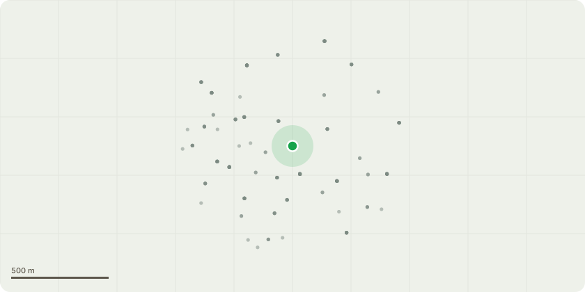
Approximate location
Proposal
Tree Preservation Order WAL:9/72 - T1 - Beech - Crown Reduction - Reducing the height and spread of the tree by up to 2 metres T2 - Beech - Crown Reduction - Reducing the height and spread of the tree by up to 2 metres T4 - Cedar - Reduce height by approximately 0.5 metres into proportion of shape to maintain current dimensions. Reason for work: T1 and T2 are mature Beech trees that have both been previously crown reduced. Each tree exhibits cavities within the main stem at approximately 2 metres above ground level, which appear to be the result of historic large limb removals. A selective crown reduction of up to 2 metres is proposed to reduce biomechanical loading on the canopy, thereby relieving pressure on the main stem and lowering the risk of structural failure. The works are intended to maintain an aesthetically balanced and healthy crown, while preserving the trees??? overall form and amenity value. The proposed reduction is considered proportionate and sympathetic to the trees condition and past management history, and is not expected to have a significant adverse impact on their health or visual amenity. All works will be carried out in accordance with BS 3998:2010 Tree Work Recommendations, with a maximum pruning wound diameter not exceeding 40mm.
Key dates
- Received 24 Sept 2025
- Started 24 Sept 2025
- Decided 18 Nov 2025
Planning history / related applications
No related planning applications have been identified in the current public OGL dataset.
Inside plotEdge
Go beyond the public record
This page is the public OGL record. plotEdge adds the private intelligence layer for this site - open it in the app to unlock:
- Ownership & title Registered owner and title from HM Land Registry.
- Viability & build potential Site scoring and development upside.
- Constraints Flood risk, green belt, conservation areas and designations.
- Approval signal Planning risk and approval-likelihood analysis.
- Comparable applications Decisions on similar nearby sites, side by side.
- Status alerts Get notified the moment this application changes.
Source: public planning application data from Elmbridge, reused under the Open Government Licence v3.0. View the council source record. Council documents and drawings are not republished on plotEdge.