Elmbridge
Elmbridge/2025/2163
25 Palace Road East Molesey Surrey KT8 9DJ
- Reference
- Elmbridge/2025/2163
- Authority
- Elmbridge
- Application type
- Tree Conservation Area
- Address
- 25 Palace Road East Molesey Surrey KT8 9DJ
- Postcode
- KT8 9DJ
- Status
- Final Decision
- Decision
- Raise No Objection
- Received
- 26 Aug 2025
- Started
- 26 Aug 2025
- Decided
- 26 Sept 2025
- Source council
- Elmbridge
- Council source record
- View public record
- Public data licence
- Open Government Licence v3.0
- Record updated
- 18 Jul 2026
- SEO index generated
- 24 Jul 2026
Location
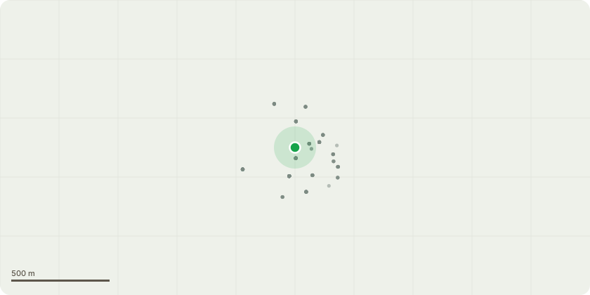
Approximate location
Proposal
East Molesey Kent Town Conservation Area - We would like to remove the Yew tree completely as identified in the attached sketches. We wish to remove for these reasons 1) Safety - very close to both 25 and 25A Palace Road buildings. Concern of falling branches into kitchen ceiling window adjacent to tree. Concern of toxicity of tree to young children living at 25 Palace Road. 2) Damage to Property - roots close to foundations of 25 and 25A, already creating damage to decking area of 25A - photo evidence supplied. 3) Creates significant shade to both properties, both 25 and 25A owners would like increased sunlight This tree is not visible from front of property or provide any coverage for other properties to offer amenity value. We would like to plant a new tree in alternative location within garden that is safe for children and pets to make up for loss of this yew. We propose a Fig tree midway down our garden away from all properties. Photos attached showing tree from rear of 25 Palace Road and decking damage at 25A. All owners of 25 and 25A Palace Road would like tree to be removed. A tree surgeon has been consulted and advised this would be possible including removal of trunk and roots.
Key dates
- Received 26 Aug 2025
- Started 26 Aug 2025
- Decided 26 Sept 2025
Planning history / related applications
No related planning applications have been identified in the current public OGL dataset.
Inside plotEdge
Go beyond the public record
This page is the public OGL record. plotEdge adds the private intelligence layer for this site - open it in the app to unlock:
- Ownership & title Registered owner and title from HM Land Registry.
- Viability & build potential Site scoring and development upside.
- Constraints Flood risk, green belt, conservation areas and designations.
- Approval signal Planning risk and approval-likelihood analysis.
- Comparable applications Decisions on similar nearby sites, side by side.
- Status alerts Get notified the moment this application changes.
Source: public planning application data from Elmbridge, reused under the Open Government Licence v3.0. View the council source record. Council documents and drawings are not republished on plotEdge.