Elmbridge
Elmbridge/2025/2045
10 Hermitage Close Claygate Esher Surrey KT10 0HH
- Reference
- Elmbridge/2025/2045
- Authority
- Elmbridge
- Application type
- Tree Preservation Order
- Address
- 10 Hermitage Close Claygate Esher Surrey KT10 0HH
- Postcode
- KT10 0HH
- Status
- Final Decision
- Decision
- Grant Consent Lesser Works
- Received
- 11 Aug 2025
- Started
- 11 Aug 2025
- Decided
- 26 Sept 2025
- Source council
- Elmbridge
- Council source record
- View public record
- Public data licence
- Open Government Licence v3.0
- Record updated
- 18 Jul 2026
- SEO index generated
- 24 Jul 2026
Location
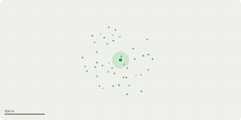
Approximate location
Proposal
EL:258 - 10 hornbeam trees to the rear of the boundary fence of 10 Hermitage Close and over the road opposite to 12 Rosehill. Request to; 1) Lower crown lift back to the trunk (advised that leaving 1 metre or more from trunk could cause die back due to lack of light) 2) Trees to be cut up to height of 6 metres . Work is required to keep the trees in good condition and reduce excessive shading of garden and risk of collapsing branches After consultation with a Tree Specialist, I have been advised that the actions above is best practise to ensure health of the Hornbeam trees in accordance with the British Institute of Standards 2010; Reasons; 1) Overhanging lower branches encroaching on garden 2) Constant bird defecation causing potential danger to young children playing 3) Becoming claustrophobic
Key dates
- Received 11 Aug 2025
- Started 11 Aug 2025
- Decided 26 Sept 2025
Planning history / related applications
No related planning applications have been identified in the current public OGL dataset.
Inside plotEdge
Go beyond the public record
This page is the public OGL record. plotEdge adds the private intelligence layer for this site - open it in the app to unlock:
- Ownership & title Registered owner and title from HM Land Registry.
- Viability & build potential Site scoring and development upside.
- Constraints Flood risk, green belt, conservation areas and designations.
- Approval signal Planning risk and approval-likelihood analysis.
- Comparable applications Decisions on similar nearby sites, side by side.
- Status alerts Get notified the moment this application changes.
Source: public planning application data from Elmbridge, reused under the Open Government Licence v3.0. View the council source record. Council documents and drawings are not republished on plotEdge.