Elmbridge
Elmbridge/2025/1620
Fitzrovia 89A West End Lane Esher Surrey KT10 8LF
- Reference
- Elmbridge/2025/1620
- Authority
- Elmbridge
- Application type
- Tree Conservation Area
- Address
- Fitzrovia 89A West End Lane Esher Surrey KT10 8LF
- Postcode
- KT10 8LF
- Status
- Final Decision
- Decision
- Raise No Objection
- Received
- 23 Jun 2025
- Started
- 23 Jun 2025
- Decided
- 1 Aug 2025
- Source council
- Elmbridge
- Council source record
- View public record
- Public data licence
- Open Government Licence v3.0
- Record updated
- 18 Jul 2026
- SEO index generated
- 24 Jul 2026
Location
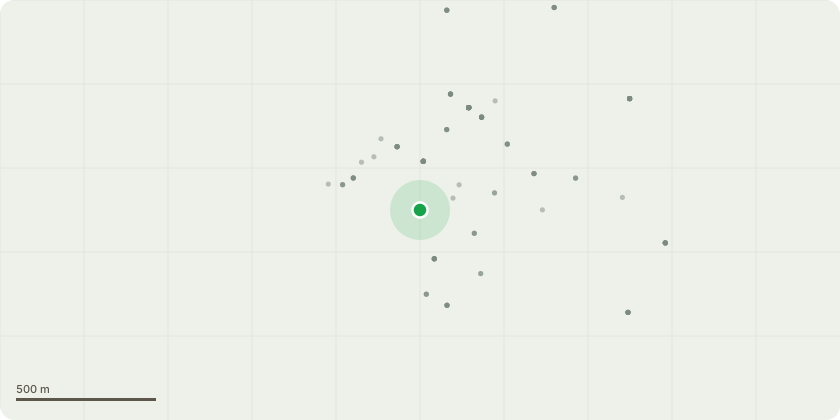
Approximate location
Proposal
West End Conservation Area - T1- Holm Oak- Crown reduce by 1.5m. Current height is 6m, will remain at 4.5m. Width is 5.5m, will remain at 4m. The size of the garden is not very big and over shadowed by many surrounding trees. There is almost no light at all into the garden & the leaves/ debris makes it impossible to grow anything. The light into the properties windows is also next to nothing. To reduce this tree would help with these issues. T2- Leylandii- Remove this tree. This tree is central within the small garden and stopping anything growing beneath or around the tree. The tree is also adding to the lack of light into the property. Many surrounding coniferous trees have died off due to the Aphid infestations & this tree is looking a little sparse whilst dropping a lot of orange coloured needles. The tree is of no benefit to the garden so removal is requested. T3 Oak tree- reduce branches away from the building by 1.5 metres. These branches are dropping debris onto the property & obstructing natural daylight. Reports of squirrels jumping across from the tree onto the roof.
Key dates
- Received 23 Jun 2025
- Started 23 Jun 2025
- Decided 1 Aug 2025
Planning history / related applications
No related planning applications have been identified in the current public OGL dataset.
Inside plotEdge
Go beyond the public record
This page is the public OGL record. plotEdge adds the private intelligence layer for this site - open it in the app to unlock:
- Ownership & title Registered owner and title from HM Land Registry.
- Viability & build potential Site scoring and development upside.
- Constraints Flood risk, green belt, conservation areas and designations.
- Approval signal Planning risk and approval-likelihood analysis.
- Comparable applications Decisions on similar nearby sites, side by side.
- Status alerts Get notified the moment this application changes.
Source: public planning application data from Elmbridge, reused under the Open Government Licence v3.0. View the council source record. Council documents and drawings are not republished on plotEdge.