Elmbridge
Elmbridge/2025/1265
Matham House Matham Road East Molesey Surrey KT8 0SU
- Reference
- Elmbridge/2025/1265
- Authority
- Elmbridge
- Application type
- Tree Conservation Area
- Address
- Matham House Matham Road East Molesey Surrey KT8 0SU
- Postcode
- KT8 0SU
- Status
- Final Decision
- Decision
- Raise No Objection
- Received
- 13 May 2025
- Started
- 13 May 2025
- Decided
- 9 Jun 2025
- Source council
- Elmbridge
- Council source record
- View public record
- Public data licence
- Open Government Licence v3.0
- Record updated
- 18 Jul 2026
- SEO index generated
- 24 Jul 2026
Location
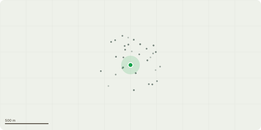
Approximate location
Proposal
East Molesey Old Village Conservation Area - T1- Mature decaying cherry tree located in rear garden- - Section fell to as close to ground level as possible and grind out remaining stump - reasons for work is the tree is heavily decayed with a large rot pocket approximately 1.5 meters above ground level on main trunk. Ganoderma bracket was seen near to the base and there is significant die back in the upper canopy T2- Mature twin stemmed lawson cypress tree located far right corner of rear garden- - Reduce height of canopy by 2.5- 3 meters pruning to suitable live growth points - Reasons for work is the tree is multi stemmed and the reduction will alleviate the wind sail and pressure on unions at base. The garden also has excessive shading and the reduction in height will allow more sunlight into the garden. After Pruning the tree will still stand at 10 meters in height and 6 meters in width.
Key dates
- Received 13 May 2025
- Started 13 May 2025
- Decided 9 Jun 2025
Planning history / related applications
No related planning applications have been identified in the current public OGL dataset.
Inside plotEdge
Go beyond the public record
This page is the public OGL record. plotEdge adds the private intelligence layer for this site - open it in the app to unlock:
- Ownership & title Registered owner and title from HM Land Registry.
- Viability & build potential Site scoring and development upside.
- Constraints Flood risk, green belt, conservation areas and designations.
- Approval signal Planning risk and approval-likelihood analysis.
- Comparable applications Decisions on similar nearby sites, side by side.
- Status alerts Get notified the moment this application changes.
Source: public planning application data from Elmbridge, reused under the Open Government Licence v3.0. View the council source record. Council documents and drawings are not republished on plotEdge.