Elmbridge
Elmbridge/2025/0809
58 Green Lane Hersham Walton-On-Thames Surrey KT12 5EZ
- Reference
- Elmbridge/2025/0809
- Authority
- Elmbridge
- Application type
- Tree Preservation Order
- Address
- 58 Green Lane Hersham Walton-On-Thames Surrey KT12 5EZ
- Postcode
- KT12 5EZ
- Status
- Final Decision
- Decision
- Grant Consent
- Received
- 25 Mar 2025
- Started
- 25 Mar 2025
- Decided
- 6 May 2025
- Source council
- Elmbridge
- Council source record
- View public record
- Public data licence
- Open Government Licence v3.0
- Record updated
- 18 Jul 2026
- SEO index generated
- 24 Jul 2026
Location
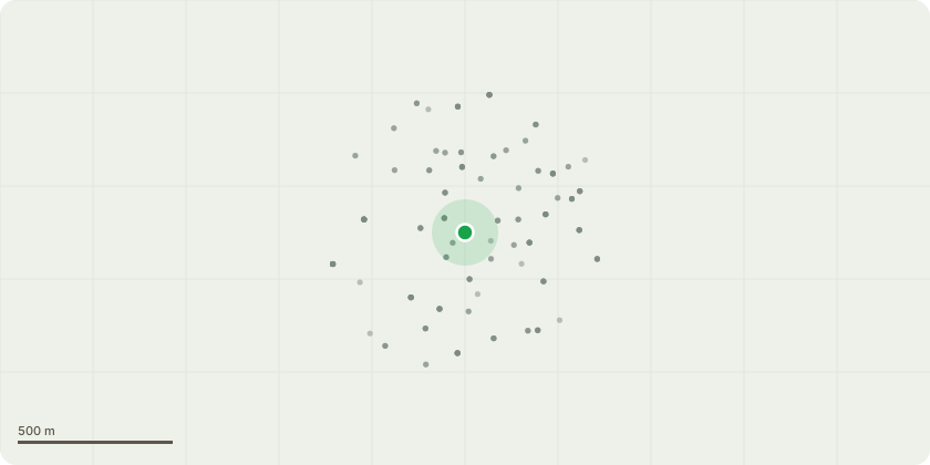
Approximate location
Proposal
Tree Preservation Order EL:03/34: Tree number/Species: T2 OAK Amenity: SIGNIFICANT Proposed works: T2 OAK Crown thin 20%. Removal deadwood and epicormic growth up to main crown break. Remove largest crossing limb leaving a stub of 1m, to remove at a later date. Crown lift to 4.5m above ground level and allow 2m clearance of phone lines, removing selected branches back to primary limbs (see annotated image) and pruning remaining tertiary branches. Dimensions are not required, images are suitable for the purpose of identifying pruning points, and there are no crown reduction works. Reason: To maintain the tree at a size suitable for the location and allow more light beneath the canopy. The tree can be re-visited in about 3 years' time to spec - light reduction works. Officer comments: T2 OAK is not exempt from application under section 14 of Town and Country Planning Regulations 2012. The work specification is considered to address initial reasons for work while maintaining a reasonable degree of public amenity with an acceptable impact on tree health.
Key dates
- Received 25 Mar 2025
- Started 25 Mar 2025
- Decided 6 May 2025
Planning history / related applications
No related planning applications have been identified in the current public OGL dataset.
Inside plotEdge
Go beyond the public record
This page is the public OGL record. plotEdge adds the private intelligence layer for this site - open it in the app to unlock:
- Ownership & title Registered owner and title from HM Land Registry.
- Viability & build potential Site scoring and development upside.
- Constraints Flood risk, green belt, conservation areas and designations.
- Approval signal Planning risk and approval-likelihood analysis.
- Comparable applications Decisions on similar nearby sites, side by side.
- Status alerts Get notified the moment this application changes.
Source: public planning application data from Elmbridge, reused under the Open Government Licence v3.0. View the council source record. Council documents and drawings are not republished on plotEdge.