Elmbridge
Elmbridge/2025/0773
15 Claremont Road Claygate Esher Surrey KT10 0PL
- Reference
- Elmbridge/2025/0773
- Authority
- Elmbridge
- Application type
- Tree Conservation Area
- Address
- 15 Claremont Road Claygate Esher Surrey KT10 0PL
- Postcode
- KT10 0PL
- Status
- Final Decision
- Decision
- Raise No Objection
- Received
- 24 Mar 2025
- Started
- 24 Mar 2025
- Decided
- 1 May 2025
- Source council
- Elmbridge
- Council source record
- View public record
- Public data licence
- Open Government Licence v3.0
- Record updated
- 18 Jul 2026
- SEO index generated
- 24 Jul 2026
Location
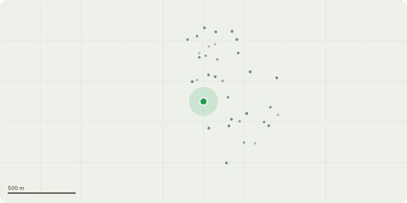
Approximate location
Proposal
Claygate Foley Estate Conservation Area - Eucalyptus tree. The proposal is to completely remove the tree located in position 1 on the Site Plan (Doc 1) and shown in the picture (Doc 2) Its branches are interfering with an adjacent magnolia tree, which we are keen to allow space to continue to develop. Its growth and shallow roots (as shown in Doc 3) are removing disproportionate water from the ground with potential damage to a nearby pear tree which is c. 100 years old. The tree is not indigenous to the country / area. We have plans to plant new more appropriate trees in our garden which will more than offset the loss to the environment from the removal of this single tree. We have never observed a single nest in the tree or any other form of wildlife. (Its branches move too fluidly making it unstable for nests). Conifer / leylandii hedges. The proposal is to completely remove these high trees / hedges located in position 2 on the Site Plan (Doc 1) and shown in the picture (Doc 4). These are old and are higher / wider than they need to be. They will be replaced by more suitable / less dense alternatives.
Key dates
- Received 24 Mar 2025
- Started 24 Mar 2025
- Decided 1 May 2025
Planning history / related applications
No related planning applications have been identified in the current public OGL dataset.
Inside plotEdge
Go beyond the public record
This page is the public OGL record. plotEdge adds the private intelligence layer for this site - open it in the app to unlock:
- Ownership & title Registered owner and title from HM Land Registry.
- Viability & build potential Site scoring and development upside.
- Constraints Flood risk, green belt, conservation areas and designations.
- Approval signal Planning risk and approval-likelihood analysis.
- Comparable applications Decisions on similar nearby sites, side by side.
- Status alerts Get notified the moment this application changes.
Source: public planning application data from Elmbridge, reused under the Open Government Licence v3.0. View the council source record. Council documents and drawings are not republished on plotEdge.