Elmbridge
Elmbridge/2025/0335
10 Courtney Place Cobham Surrey KT11 2BE
- Reference
- Elmbridge/2025/0335
- Authority
- Elmbridge
- Application type
- Tree Preservation Order
- Address
- 10 Courtney Place Cobham Surrey KT11 2BE
- Postcode
- KT11 2BE
- Status
- Final Decision
- Decision
- Grant Consent
- Received
- 10 Feb 2025
- Started
- 10 Feb 2025
- Decided
- 19 Mar 2025
- Source council
- Elmbridge
- Council source record
- View public record
- Public data licence
- Open Government Licence v3.0
- Record updated
- 18 Jul 2026
- SEO index generated
- 24 Jul 2026
Location
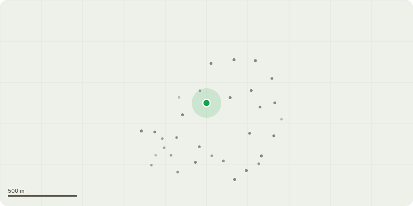
Approximate location
Proposal
EL 97/06 - G14 2 x oak trees closes to rear garden of 4 Courtney Place. Crown reduce height by 2.5m from 14m to 11.5 m Crown reduce sides by 1.5m from 4.5m to 3m T43 1 x sweet chestnut remove lowest 3 branches which overhang planting and lawn area and crown reduce sides by 2.5 metres to allow lawn and planting in the vicinity to flourish. As part of a continued maintenance programme to maintain trees in a more compact form. Trees causing excessive shading and low amenity value to house and garden at 4 Courtney Place. Causing lack of natural sunlight and damage to roof, excessive build up of moss and decking due to shade. The planned works will allow natural light to the rear elevations of the house. Currently, during summer months, the rear of house and gardens receive no natural sunlight. PLEASE NOTE WORK WAS ORIGINALLY GIVEN PERMISSION UNDER APP NO 2019/2616 PP REF 08158632 for G14 2 x oak trees however on the day the tree surgeon carried out the work permission could not be granted for them to enter the grounds of No 10, where the trees are situated, because of health risks to the occupants who shielding from Covid and therefore the works to these two trees could not be completed properly. Thereafter the permission to carry out the works expired.
Key dates
- Received 10 Feb 2025
- Started 10 Feb 2025
- Decided 19 Mar 2025
Planning history / related applications
No related planning applications have been identified in the current public OGL dataset.
Inside plotEdge
Go beyond the public record
This page is the public OGL record. plotEdge adds the private intelligence layer for this site - open it in the app to unlock:
- Ownership & title Registered owner and title from HM Land Registry.
- Viability & build potential Site scoring and development upside.
- Constraints Flood risk, green belt, conservation areas and designations.
- Approval signal Planning risk and approval-likelihood analysis.
- Comparable applications Decisions on similar nearby sites, side by side.
- Status alerts Get notified the moment this application changes.
Source: public planning application data from Elmbridge, reused under the Open Government Licence v3.0. View the council source record. Council documents and drawings are not republished on plotEdge.