Elmbridge
Elmbridge/2025/0320
Summer House Winterbourne Grove Weybridge Surrey KT13 0PP
- Reference
- Elmbridge/2025/0320
- Authority
- Elmbridge
- Application type
- Tree Preservation Order
- Address
- Summer House Winterbourne Grove Weybridge Surrey KT13 0PP
- Postcode
- KT13 0PP
- Status
- Final Decision
- Decision
- Refuse Proposed Tree Work
- Received
- 6 Feb 2025
- Started
- 6 Feb 2025
- Decided
- 21 Mar 2025
- Source council
- Elmbridge
- Council source record
- View public record
- Public data licence
- Open Government Licence v3.0
- Record updated
- 18 Jul 2026
- SEO index generated
- 24 Jul 2026
Location
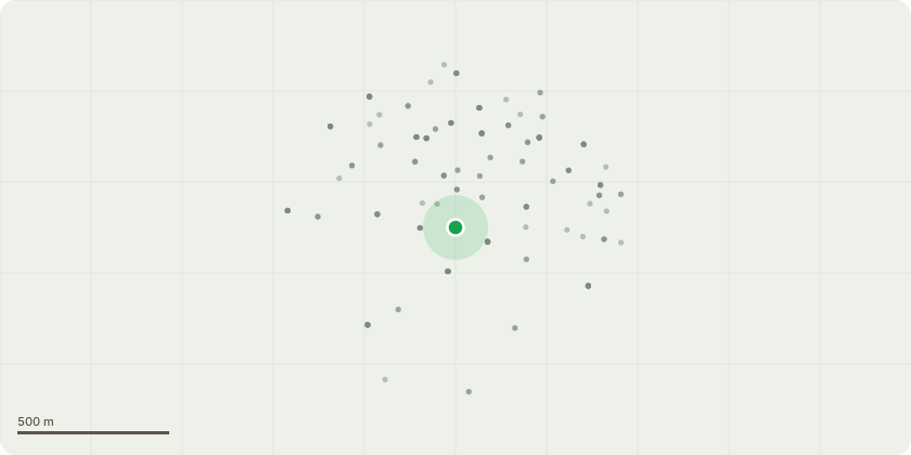
Approximate location
Proposal
EL:269 - T1 - Silver Maple Reasons for application: This tree is a focal point of the road entrance and the owners would like to ensure good onward form and improve its shape. The tree has become a little messy and when in leaf is quite a dense entity. There are a few heavy limbs/forks that in my opinion could do with lightening and bringing back into shape for precautionary and aesthetic measures. Reduction cuts of approx 3m to remove selected protruding branches to create a smaller canopy. The tree is also starting to encroach onto the roads/pathways Selectively reduce crown by approximately 2m - 3m back to sustainable growth points while keeping trees natural form. I have annotated certain cuts where I could to give you a good impression of what we are trying to achieve. Final height to be approximately 12-13m Crown lift tips to a height of approximately 4.5m - 5m to ensure adequate clearance from road and pathway. No major limbs to be removed.
Key dates
- Received 6 Feb 2025
- Started 6 Feb 2025
- Decided 21 Mar 2025
Planning history / related applications
No related planning applications have been identified in the current public OGL dataset.
Inside plotEdge
Go beyond the public record
This page is the public OGL record. plotEdge adds the private intelligence layer for this site - open it in the app to unlock:
- Ownership & title Registered owner and title from HM Land Registry.
- Viability & build potential Site scoring and development upside.
- Constraints Flood risk, green belt, conservation areas and designations.
- Approval signal Planning risk and approval-likelihood analysis.
- Comparable applications Decisions on similar nearby sites, side by side.
- Status alerts Get notified the moment this application changes.
Source: public planning application data from Elmbridge, reused under the Open Government Licence v3.0. View the council source record. Council documents and drawings are not republished on plotEdge.