Elmbridge
Elmbridge/2025/0172
17 Green Lane Cobham Surrey KT11 2NN
- Reference
- Elmbridge/2025/0172
- Authority
- Elmbridge
- Application type
- Tree Preservation Order
- Address
- 17 Green Lane Cobham Surrey KT11 2NN
- Postcode
- KT11 2NN
- Status
- Final Decision
- Decision
- Grant Consent
- Received
- 22 Jan 2025
- Started
- 22 Jan 2025
- Decided
- 12 Mar 2025
- Source council
- Elmbridge
- Council source record
- View public record
- Public data licence
- Open Government Licence v3.0
- Record updated
- 18 Jul 2026
- SEO index generated
- 24 Jul 2026
Location
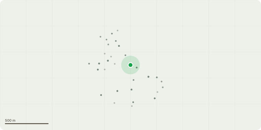
Approximate location
Proposal
Tree Preservation Order EL:25/02 - T1 Scott's Pine in Rear garden-Fell Tree is in a very poor location, in very close proximity to the house and neighbours Driveway. Client has suspicions of tree causing subsidence. Prior to the Tree gaining a tree preservation order, the tree had started to get dismantled, with many of the lower branches "flush cut" to the main stem and also Spur marks to gain access into the canopy. There is a large Defect at the base on the house side of the tree, from where a section of the bark is removed and damaged the Cambium, to enable the friction/lowering device to be fitted. I imagine these defects may end up leading to decay or decline and due to the tree being within striking distance of there house and also the neighbours garage, it may become dangerous in the near future. Due to this, I would like to apply to Fell the remainder of the Tree and replant a suitable Replacement in a better position within the garden.
Key dates
- Received 22 Jan 2025
- Started 22 Jan 2025
- Decided 12 Mar 2025
Planning history / related applications
No related planning applications have been identified in the current public OGL dataset.
Inside plotEdge
Go beyond the public record
This page is the public OGL record. plotEdge adds the private intelligence layer for this site - open it in the app to unlock:
- Ownership & title Registered owner and title from HM Land Registry.
- Viability & build potential Site scoring and development upside.
- Constraints Flood risk, green belt, conservation areas and designations.
- Approval signal Planning risk and approval-likelihood analysis.
- Comparable applications Decisions on similar nearby sites, side by side.
- Status alerts Get notified the moment this application changes.
Source: public planning application data from Elmbridge, reused under the Open Government Licence v3.0. View the council source record. Council documents and drawings are not republished on plotEdge.