Elmbridge
Elmbridge/2024/3291
2 High Pine Close Weybridge Surrey KT13 9EA
- Reference
- Elmbridge/2024/3291
- Authority
- Elmbridge
- Address
- 2 High Pine Close Weybridge Surrey KT13 9EA
- Postcode
- KT13 9EA
- Received
- 19 Dec 2024
- Started
- 19 Dec 2024
- Decided
- 21 Jan 2025
- Source council
- Elmbridge
- Council source record
- View public record
- Public data licence
- Open Government Licence v3.0
- Record updated
- 18 Jul 2026
- SEO index generated
- 24 Jul 2026
Location
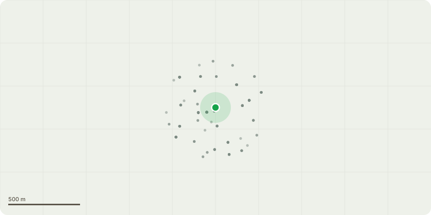
Approximate location
Proposal
Tree Preservation Order: EL:08/12 - T1- Beech - Beech tree located at the front of the property at '2 High Pines Close, Weybridge'.The tree is approximately 16m tall with an 8m spread on the North and East section of the tree. A spread of approximately 5-6m on the South and West side. A reduction of 6m in height. A 3m reduction in spread all round to alleviate a large portion of weight and sail in the tree. Leaving the tree at a final height of 10m with a spread of around 5m N & E side. A final spread of 3-4m S & W side. Crown lift up to 6m as larger vehicles hit these branches overhanging the road.The tree has a Large bracket of Ganoderma fungus at the base, with closer inspection this could be seen less as an objective of amenity but more of an exercise of safety and conservation for the time being. The tree will at some point have to be felled due to the Ganoderma given its close proximity of multiple properties and walkways and highways. Amenity should be less of a concern over safety however the 6m will still be above previous pruning points and therefore likely to still have a good balanced shape.The main concern of the work submitted is to reduce a bulk of weight and wind sail out of the tree to prevent the likelihood of the tree failing giving its proximity to buildings cars and pedestrian walkways.
Key dates
- Received 19 Dec 2024
- Started 19 Dec 2024
- Decided 21 Jan 2025
Planning history / related applications
No related planning applications have been identified in the current public OGL dataset.
Inside plotEdge
Go beyond the public record
This page is the public OGL record. plotEdge adds the private intelligence layer for this site - open it in the app to unlock:
- Ownership & title Registered owner and title from HM Land Registry.
- Viability & build potential Site scoring and development upside.
- Constraints Flood risk, green belt, conservation areas and designations.
- Approval signal Planning risk and approval-likelihood analysis.
- Comparable applications Decisions on similar nearby sites, side by side.
- Status alerts Get notified the moment this application changes.
Source: public planning application data from Elmbridge, reused under the Open Government Licence v3.0. View the council source record. Council documents and drawings are not republished on plotEdge.