Elmbridge
Elmbridge/2024/2986
Raindrew House 92 Queens Road Hersham Walton-On-Thames Surrey KT12 5LL
- Reference
- Elmbridge/2024/2986
- Authority
- Elmbridge
- Application type
- Tree Preservation Order
- Address
- Raindrew House 92 Queens Road Hersham Walton-On-Thames Surrey KT12 5LL
- Postcode
- KT12 5LL
- Status
- Final Decision
- Decision
- Grant Consent
- Received
- 18 Nov 2024
- Started
- 18 Nov 2024
- Decided
- 16 Dec 2024
- Source council
- Elmbridge
- Council source record
- View public record
- Public data licence
- Open Government Licence v3.0
- Record updated
- 18 Jul 2026
- SEO index generated
- 24 Jul 2026
Location
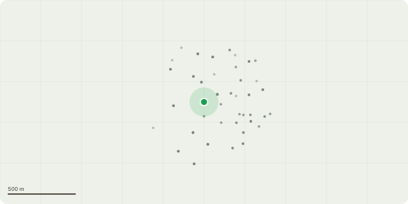
Approximate location
Proposal
T1 Oak, adjacent to footpath. Reduce crown by 2m. Crown lift 5 m above highway, remove deadwood. Reason; large birds appeared to be accessing a cavity within the main stem (3-4m above ground level) therefore, it's reasonable to assume the cavity is large enough to specify some work at this point. However, I suggest a competent person inspects the cavity to assess its significance on the tree. Final height: approximately 14-15m Final radial spread: No change. T2 Oak, middle of drive. Crown thin previous reduction points by 20%, removing branches up to 30 mm diameter, pruning smallest diameter first. Crown lift 5m above ground level, remove dead wood. Reason; good arboricultural practice (BS 3998:2010), reducing potential of outcompeted branches from failing in high winds and allowing better development of the more established re-growth. Final height: No change Final spread: No change T3 Oak. Prune away from structures allowing 2m clearance, remove deadwood, Crown reduce by 1.5m. Reason; T3 appears stressed with some die back of the tips and thinning crown. Most of the branches appear long and slender with most of the leaf area at branch extremities, reducing damping that can increase risk of branch failure. Final height: Approximately 16m Final radial spread: Approximately 4-5m (average).
Key dates
- Received 18 Nov 2024
- Started 18 Nov 2024
- Decided 16 Dec 2024
Planning history / related applications
No related planning applications have been identified in the current public OGL dataset.
Inside plotEdge
Go beyond the public record
This page is the public OGL record. plotEdge adds the private intelligence layer for this site - open it in the app to unlock:
- Ownership & title Registered owner and title from HM Land Registry.
- Viability & build potential Site scoring and development upside.
- Constraints Flood risk, green belt, conservation areas and designations.
- Approval signal Planning risk and approval-likelihood analysis.
- Comparable applications Decisions on similar nearby sites, side by side.
- Status alerts Get notified the moment this application changes.
Source: public planning application data from Elmbridge, reused under the Open Government Licence v3.0. View the council source record. Council documents and drawings are not republished on plotEdge.