Elmbridge
Elmbridge/2024/2879
1 Weylands Park Weybridge Surrey KT13 0JL
- Reference
- Elmbridge/2024/2879
- Authority
- Elmbridge
- Application type
- Tree Preservation Order
- Address
- 1 Weylands Park Weybridge Surrey KT13 0JL
- Postcode
- KT13 0JL
- Status
- Final Decision
- Decision
- Refuse Proposed Tree Work
- Received
- 5 Nov 2024
- Started
- 5 Nov 2024
- Decided
- 23 Dec 2024
- Source council
- Elmbridge
- Council source record
- View public record
- Public data licence
- Open Government Licence v3.0
- Record updated
- 18 Jul 2026
- SEO index generated
- 24 Jul 2026
Location
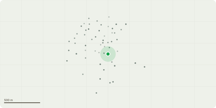
Approximate location
Proposal
EL:91/08 - Tree Species: Douglas Fir (Pseudotsuga menziesii) Location: Close to the road. Proposed Work: We propose to reduce the height of the Douglas Fir by approximately 3 meters, cutting back into the thicker part of the canopy to address the leggy growth at the top. Reason for Work: The upper portion of the Douglas Fir has developed sparse and leggy growth, which increases the sail effect and susceptibility to wind damage. Reducing the height will improve the tree's stability by decreasing the sail capacity. Additionally, as the tree is located near a road, this reduction will mitigate potential risks associated with falling branches or storm damage, enhancing safety for both the property and passersby. Additional Considerations: All work will be conducted with respect for the tree's health and structural integrity, ensuring that the reduction promotes a balanced and natural canopy shape.
Key dates
- Received 5 Nov 2024
- Started 5 Nov 2024
- Decided 23 Dec 2024
Planning history / related applications
No related planning applications have been identified in the current public OGL dataset.
Inside plotEdge
Go beyond the public record
This page is the public OGL record. plotEdge adds the private intelligence layer for this site - open it in the app to unlock:
- Ownership & title Registered owner and title from HM Land Registry.
- Viability & build potential Site scoring and development upside.
- Constraints Flood risk, green belt, conservation areas and designations.
- Approval signal Planning risk and approval-likelihood analysis.
- Comparable applications Decisions on similar nearby sites, side by side.
- Status alerts Get notified the moment this application changes.
Source: public planning application data from Elmbridge, reused under the Open Government Licence v3.0. View the council source record. Council documents and drawings are not republished on plotEdge.