Elmbridge
Elmbridge/2024/2878
Chatsworth 15 Courtney Place Cobham Surrey KT11 2BE
- Reference
- Elmbridge/2024/2878
- Authority
- Elmbridge
- Application type
- Tree Preservation Order
- Address
- Chatsworth 15 Courtney Place Cobham Surrey KT11 2BE
- Postcode
- KT11 2BE
- Status
- Final Decision
- Decision
- Grant Consent
- Received
- 5 Nov 2024
- Started
- 5 Nov 2024
- Decided
- 11 Dec 2024
- Source council
- Elmbridge
- Council source record
- View public record
- Public data licence
- Open Government Licence v3.0
- Record updated
- 18 Jul 2026
- SEO index generated
- 24 Jul 2026
Location
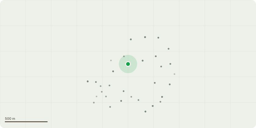
Approximate location
Proposal
EL:97/06 - Tree Species: Sweet Chestnut (Castanea sativa) and Lime (Tilia species) Location: Both trees are located in the back garden. Proposed Work: We propose to reduce the overall canopy of both the Sweet Chestnut and Lime trees by approximately 1.5 to 2 meters. This reduction will involve carefully pruning back branches to an appropriate growth point, ensuring the trees maintain a natural and balanced appearance. Reason for Work: The size and density of the canopies have resulted in a significant reduction in natural light to both our property and the neighbouring property. The lack of sunlight has contributed to the formation of dampness on one of our exterior walls, which poses a long-term risk to the building's structure. Additionally, the branches are heavily weighted, with some having broken off historically, increasing the risk of further breakage and potential property damage. Additional Considerations: All work will be undertaken with care to preserve the health and aesthetic quality of the trees, ensuring their long-term vitality while addressing safety and property concerns.
Key dates
- Received 5 Nov 2024
- Started 5 Nov 2024
- Decided 11 Dec 2024
Planning history / related applications
No related planning applications have been identified in the current public OGL dataset.
Inside plotEdge
Go beyond the public record
This page is the public OGL record. plotEdge adds the private intelligence layer for this site - open it in the app to unlock:
- Ownership & title Registered owner and title from HM Land Registry.
- Viability & build potential Site scoring and development upside.
- Constraints Flood risk, green belt, conservation areas and designations.
- Approval signal Planning risk and approval-likelihood analysis.
- Comparable applications Decisions on similar nearby sites, side by side.
- Status alerts Get notified the moment this application changes.
Source: public planning application data from Elmbridge, reused under the Open Government Licence v3.0. View the council source record. Council documents and drawings are not republished on plotEdge.