Elmbridge
Elmbridge/2024/2711
Parkside Cottage 6 Sandown Road Esher Surrey KT10 9TU
- Reference
- Elmbridge/2024/2711
- Authority
- Elmbridge
- Application type
- Tree Preservation Order
- Address
- Parkside Cottage 6 Sandown Road Esher Surrey KT10 9TU
- Postcode
- KT10 9TU
- Status
- Final Decision
- Decision
- Grant Consent
- Received
- 17 Oct 2024
- Started
- 17 Oct 2024
- Decided
- 20 Nov 2024
- Source council
- Elmbridge
- Council source record
- View public record
- Public data licence
- Open Government Licence v3.0
- Record updated
- 18 Jul 2026
- SEO index generated
- 24 Jul 2026
Location
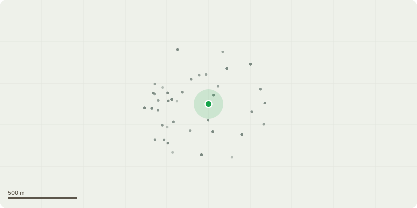
Approximate location
Proposal
Tree Preservation Order EL:157 - T1 - Oak - reduce overall by 2.5m to leave finished height of 16m and finished spread of 14m. Please see the following points below which relate to the attached images: Image 1. NE facing limb - approximately 10m from ground - pruning wound decaying visible from ground, completely hollow Image 2. S facing limb, 10m from ground, 3 m along branch - large cavity from large pruning cut. Further out on the limb the branch dropping down has a large cavity visible from the ground indicating hollow branch. Image 3. Main central stem - previous large snap out at the top looks like has failed through an old cable wire brace. Wound is north facing. Image 4. Branch parallel with above (Image 3). 16 m from ground - S facing large limb has fracture and is leaning in a lower branch. Helical cracks through the middle of the branch. Image 5. NW facing in lowest limb snapped hanging branch 12m from ground. Facing towards alleyway Image 6. W facing two lowest limbs at 8 and 9 metres from ground have top side decay. Image 7. SE facing lowest limb has large top side cavity at the union, 4-5m along branch - old pruning decay and the branch has hollowed before the wound. Image 8. W facing 11m from ground cavity from what looks like an old helical crack.
Key dates
- Received 17 Oct 2024
- Started 17 Oct 2024
- Decided 20 Nov 2024
Planning history / related applications
No related planning applications have been identified in the current public OGL dataset.
Inside plotEdge
Go beyond the public record
This page is the public OGL record. plotEdge adds the private intelligence layer for this site - open it in the app to unlock:
- Ownership & title Registered owner and title from HM Land Registry.
- Viability & build potential Site scoring and development upside.
- Constraints Flood risk, green belt, conservation areas and designations.
- Approval signal Planning risk and approval-likelihood analysis.
- Comparable applications Decisions on similar nearby sites, side by side.
- Status alerts Get notified the moment this application changes.
Source: public planning application data from Elmbridge, reused under the Open Government Licence v3.0. View the council source record. Council documents and drawings are not republished on plotEdge.