Elmbridge
Elmbridge/2024/2450
Ashburton House 3 Monument Green Weybridge Surrey KT13 8QR
- Reference
- Elmbridge/2024/2450
- Authority
- Elmbridge
- Application type
- Tree Conservation Area
- Address
- Ashburton House 3 Monument Green Weybridge Surrey KT13 8QR
- Postcode
- KT13 8QR
- Status
- Final Decision
- Decision
- Conservation Area Tree Works Acceptable
- Received
- 19 Sept 2024
- Started
- 19 Sept 2024
- Decided
- 30 Oct 2024
- Source council
- Elmbridge
- Council source record
- View public record
- Public data licence
- Open Government Licence v3.0
- Record updated
- 18 Jul 2026
- SEO index generated
- 24 Jul 2026
Location
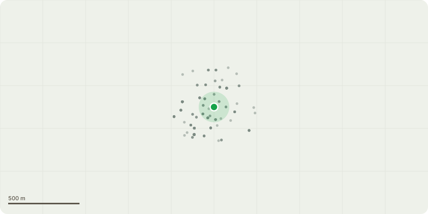
Approximate location
Proposal
Weybridge Monument Green Conservation Area - There are two Yew Trees in the vicinity of our children's day nursery garden and car park that are causing the brick boundary wall to collapse and become structurally unsafe. The structural engineer has recommended these trees be removed asap. Unfortunately, due to the high risk to staff and children attending or nursery we are unable to use the garden or use the driveway/car park safely. The plan is to arrange for a qualified tree arborist to remove the trees safely and correctly. We are happy to pay for two yew trees to be planted elsewhere away from the property however, we cannot afford to the trees to cause any further damage and harmful risk to persons attending our children's day nursery.
Key dates
- Received 19 Sept 2024
- Started 19 Sept 2024
- Decided 30 Oct 2024
Planning history / related applications
No related planning applications have been identified in the current public OGL dataset.
Inside plotEdge
Go beyond the public record
This page is the public OGL record. plotEdge adds the private intelligence layer for this site - open it in the app to unlock:
- Ownership & title Registered owner and title from HM Land Registry.
- Viability & build potential Site scoring and development upside.
- Constraints Flood risk, green belt, conservation areas and designations.
- Approval signal Planning risk and approval-likelihood analysis.
- Comparable applications Decisions on similar nearby sites, side by side.
- Status alerts Get notified the moment this application changes.
Source: public planning application data from Elmbridge, reused under the Open Government Licence v3.0. View the council source record. Council documents and drawings are not republished on plotEdge.