Elmbridge
Elmbridge/2024/1792
Westholme 13 Milner Drive Cobham Surrey KT11 2EZ
- Reference
- Elmbridge/2024/1792
- Authority
- Elmbridge
- Application type
- Tree Preservation Order
- Address
- Westholme 13 Milner Drive Cobham Surrey KT11 2EZ
- Postcode
- KT11 2EZ
- Status
- Final Decision
- Decision
- Refuse Proposed Tree Work
- Received
- 8 Jul 2024
- Started
- 8 Jul 2024
- Decided
- 21 Aug 2024
- Source council
- Elmbridge
- Council source record
- View public record
- Public data licence
- Open Government Licence v3.0
- Record updated
- 18 Jul 2026
- SEO index generated
- 24 Jul 2026
Location
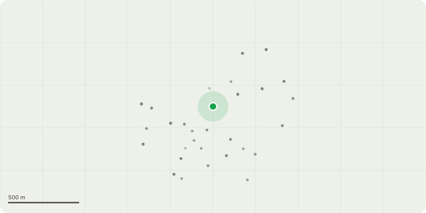
Approximate location
Proposal
T1 - Fagus sylvatica (Common Beech).Specification: Remove T1 and replant with a 6ft Fagus sylvatica 'f. purpurea' (Copper Beech) in the same location as T1.Reasons for works: Owners are concerned with the safety, health and longevity of T1, having had multiple comments from visitors as to whether it is safe to be around. Causes for concern:- Main stem has fire damage on the Eastern side which has caused decay beyond the cambium. Sounding for decay is present from the center of the fire damage to approximately 15cm beyond the intact bark on the southern side and 10m on the northern side at 5ft. Photo 1,2 & 3.- The Beech came into leaf approximately 5 weeks later than the other Beech trees in the neighbouring gardens.- The canopy is in moderate condition with more dead wood than usual for a Beech species, especially in the upper crown. Photo 4 & 5.
Key dates
- Received 8 Jul 2024
- Started 8 Jul 2024
- Decided 21 Aug 2024
Planning history / related applications
No related planning applications have been identified in the current public OGL dataset.
Inside plotEdge
Go beyond the public record
This page is the public OGL record. plotEdge adds the private intelligence layer for this site - open it in the app to unlock:
- Ownership & title Registered owner and title from HM Land Registry.
- Viability & build potential Site scoring and development upside.
- Constraints Flood risk, green belt, conservation areas and designations.
- Approval signal Planning risk and approval-likelihood analysis.
- Comparable applications Decisions on similar nearby sites, side by side.
- Status alerts Get notified the moment this application changes.
Source: public planning application data from Elmbridge, reused under the Open Government Licence v3.0. View the council source record. Council documents and drawings are not republished on plotEdge.