Elmbridge
Elmbridge/2022/0961
Land To The North Of Old Woking Road And East Of Station Approach, West Byfleet, Woking, Surrey, KT14 6NG
- Reference
- Elmbridge/2022/0961
- Authority
- Elmbridge
- Application type
- Adjoining Authority
- Address
- Land To The North Of Old Woking Road And East Of Station Approach, West Byfleet, Woking, Surrey, KT14 6NG
- Postcode
- KT14 6NG
- Status
- Final Decision
- Decision
- Raise No Objection
- Received
- 25 Mar 2022
- Started
- 25 Mar 2022
- Decided
- 14 Apr 2022
- Source council
- Elmbridge
- Council source record
- View public record
- Public data licence
- Open Government Licence v3.0
- Record updated
- 18 Jul 2026
- SEO index generated
- 24 Jul 2026
Location
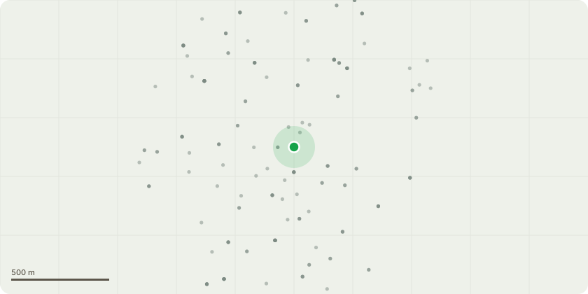
Approximate location
Proposal
Consultation from Woking Borough Council: Section 73 application for variation of condition 01 (approved plans/documents) of Reserved Matters Approval ref: PLAN/2021/0059 dated 27.04.2021 (Mixed use redevelopment to provide extra care retirement units (Class C2) and communal amenity floorspace, flexible commercial floorspace (Class E and SuiGeneris), community floorspace (Class F.1/Class F.2) and car parking spacestogether with highway works, public realm improvements and other associatedworks) for: (i) the substitution of some of the approved inset balconies withprojecting balconies on select facades fronting Old Woking Road, StationApproach, Madeira Road, and those fronting the proposed public square, (ii) theconversion of the approved rooftop bar of Block A into a residential unit (ClassC2), (iii) facade coordination works, namely regarding the brick detailing, (iv)various internal changes and (v) the replacement of the approved steps alongStation Approach with a sloped surface to make the street more accessible [PLAN/2022/0266]
Key dates
- Received 25 Mar 2022
- Started 25 Mar 2022
- Decided 14 Apr 2022
Planning history / related applications
No related planning applications have been identified in the current public OGL dataset.
Inside plotEdge
Go beyond the public record
This page is the public OGL record. plotEdge adds the private intelligence layer for this site - open it in the app to unlock:
- Ownership & title Registered owner and title from HM Land Registry.
- Viability & build potential Site scoring and development upside.
- Constraints Flood risk, green belt, conservation areas and designations.
- Approval signal Planning risk and approval-likelihood analysis.
- Comparable applications Decisions on similar nearby sites, side by side.
- Status alerts Get notified the moment this application changes.
Source: public planning application data from Elmbridge, reused under the Open Government Licence v3.0. View the council source record. Council documents and drawings are not republished on plotEdge.