East Staffordshire
East Staffordshire/P/2026/00716
WRENS NEST, 14 MAIN STREET, BARTON UNDER NEEDWOOD, DE13 8AA
- Reference
- East Staffordshire/P/2026/00716
- Authority
- East Staffordshire
- Application type
- Discharge Of Condition
- Address
- WRENS NEST, 14 MAIN STREET, BARTON UNDER NEEDWOOD, DE13 8AA
- Postcode
- DE13 8AA
- Status
- Live
- Decision
- PENDING
- Received
- 11 Jun 2026
- Started
- 11 Jun 2026
- Source council
- East Staffordshire
- Council source record
- View public record
- Public data licence
- Open Government Licence v3.0
- Record updated
- 18 Jul 2026
- SEO index generated
- 24 Jul 2026
Location
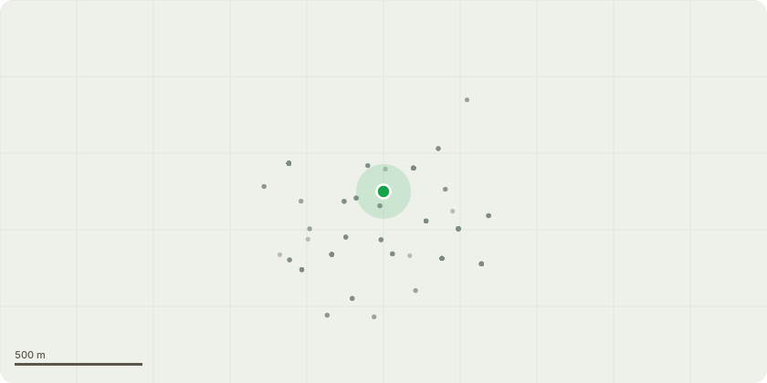
Approximate location
Proposal
Details required by conditions 5 (Materials) and 6 (Mortar Mix) of P/2026/00013 (Listed Building application for internal and external alterations to include repair and treatment to structural timber frames, repointing of brickwork and render, resin repairs, partial replacement of window frames and sashes to double glazed units, replacement of rainwater goods, repair and replacement roof tiles to match existing include repairs to timber rafters / battens, replace lead flashings and valleys, roof insulation, breathable underlay, repair and reinstate internal plasterwork with lime plaster, historic infill, replace cementitious infill, replacement of screed and concrete slabs to ground floor, repairs to existing lime ash floor to first floor, installation and re-routing of services, replacement of dilapidated ceilings and alterations to fixtures and fittings)
Key dates
- Received 11 Jun 2026
- Started 11 Jun 2026
Planning history / related applications
No related planning applications have been identified in the current public OGL dataset.
Inside plotEdge
Go beyond the public record
This page is the public OGL record. plotEdge adds the private intelligence layer for this site - open it in the app to unlock:
- Ownership & title Registered owner and title from HM Land Registry.
- Viability & build potential Site scoring and development upside.
- Constraints Flood risk, green belt, conservation areas and designations.
- Approval signal Planning risk and approval-likelihood analysis.
- Comparable applications Decisions on similar nearby sites, side by side.
- Status alerts Get notified the moment this application changes.
Source: public planning application data from East Staffordshire, reused under the Open Government Licence v3.0. View the council source record. Council documents and drawings are not republished on plotEdge.