East Staffordshire
East Staffordshire/P/2023/00141
Dart Inn, Short Street, Stapenhill, Burton Upon Trent, Staffordshire, DE15 9LT
- Reference
- East Staffordshire/P/2023/00141
- Authority
- East Staffordshire
- Application type
- Planning Condition
- Address
- Dart Inn, Short Street, Stapenhill, Burton Upon Trent, Staffordshire, DE15 9LT
- Postcode
- DE15 9LT
- Status
- Determined
- Decision
- Conditional Approval - Delegated
- Received
- 6 Feb 2023
- Started
- 6 Feb 2023
- Decided
- 25 May 2023
- Source council
- East Staffordshire
- Council source record
- View public record
- Public data licence
- Open Government Licence v3.0
- Record updated
- 18 Jul 2026
- SEO index generated
- 24 Jul 2026
Location
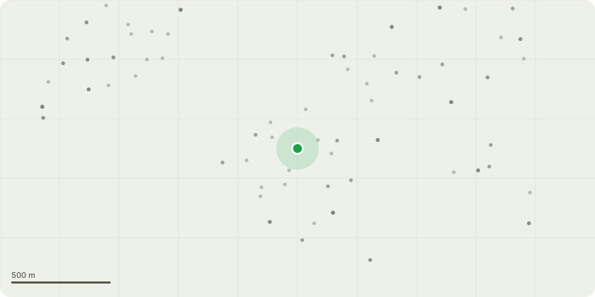
Approximate location
Proposal
Application under Section 73 to vary Condition 2 (Plans) attached to the planning permission P/2021/00431 for the demolition of existing public house and garage and erection of one block of four terraced houses, one block of seven terraced houses and associated car parking for amendments to siting of Block A and B, additional space between car park and front doors to Block B, garden fences aligned with party walls, route for bin removal behind Block B, finished floor level, eaves overhang increased to 200mm, amendments to bathroom and bedrooms windows at back and all other windows increased in width and alterations to internal layout and removal of Condition 11 to allow office space to be provided within attic room
Key dates
- Received 6 Feb 2023
- Started 6 Feb 2023
- Decided 25 May 2023
Planning history / related applications
No related planning applications have been identified in the current public OGL dataset.
Inside plotEdge
Go beyond the public record
This page is the public OGL record. plotEdge adds the private intelligence layer for this site - open it in the app to unlock:
- Ownership & title Registered owner and title from HM Land Registry.
- Viability & build potential Site scoring and development upside.
- Constraints Flood risk, green belt, conservation areas and designations.
- Approval signal Planning risk and approval-likelihood analysis.
- Comparable applications Decisions on similar nearby sites, side by side.
- Status alerts Get notified the moment this application changes.
Source: public planning application data from East Staffordshire, reused under the Open Government Licence v3.0. View the council source record. Council documents and drawings are not republished on plotEdge.