East Staffordshire
East Staffordshire/P/2022/00325
The Old Hall, Hall Lane, Middle Mayfield, Staffordshire, DE6 2JU
- Reference
- East Staffordshire/P/2022/00325
- Authority
- East Staffordshire
- Application type
- Listed Building Consent
- Address
- The Old Hall, Hall Lane, Middle Mayfield, Staffordshire, DE6 2JU
- Postcode
- DE6 2JU
- Status
- Determined
- Decision
- Conditional Approval - Delegated
- Received
- 14 Mar 2022
- Started
- 14 Mar 2022
- Decided
- 28 Jul 2022
- Source council
- East Staffordshire
- Council source record
- View public record
- Public data licence
- Open Government Licence v3.0
- Record updated
- 18 Jul 2026
- SEO index generated
- 24 Jul 2026
Location
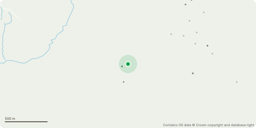
Approximate location - Contains OS data © Crown copyright and database right
Proposal
Retention of the listed Building application for alterations to include the repair of roof and upgrade rainwater drainage, repair and reinstate transom windows, repair and reinstate rear elevation mullion windows, repair masonry and re-point in lime, repair rear porch, repair cart lodge by installation of windows and doors and erection of new roof to form garage and garden store, repair loft and ground floor flooring, replace oak structural beam in cellar, reinstate original fireplace opening and window reveal to sitting room,, reinstate flagstone floor to sitting room & rear hallway, repair dining room floor, pantry conversion to new kitchen, existing kitchen converted to new disabled shower room, installation of studded partition wall with new doorway to 2nd bedroom, rewiring, repair internal lime plastering, re-plaster ground floor rear hallway and boiler room, repair walls, remove alcove and re-plaster front lobby, repair and renovate first floor bathroom & landing.
Key dates
- Received 14 Mar 2022
- Started 14 Mar 2022
- Decided 28 Jul 2022
Planning history / related applications
No related planning applications have been identified in the current public OGL dataset.
Inside plotEdge
Go beyond the public record
This page is the public OGL record. plotEdge adds the private intelligence layer for this site - open it in the app to unlock:
- Ownership & title Registered owner and title from HM Land Registry.
- Viability & build potential Site scoring and development upside.
- Constraints Flood risk, green belt, conservation areas and designations.
- Approval signal Planning risk and approval-likelihood analysis.
- Comparable applications Decisions on similar nearby sites, side by side.
- Status alerts Get notified the moment this application changes.
Source: public planning application data from East Staffordshire, reused under the Open Government Licence v3.0. View the council source record. Council documents and drawings are not republished on plotEdge.