East Riding of Yorkshire
East Riding of Yorkshire/26/00806/TPO
125 The Meadows Cherry Burton East Riding Of Yorkshire HU17 7SD
- Reference
- East Riding of Yorkshire/26/00806/TPO
- Authority
- East Riding of Yorkshire
- Application type
- Tree preservation order
- Address
- 125 The Meadows Cherry Burton East Riding Of Yorkshire HU17 7SD
- Postcode
- HU17 7SD
- Status
- TPO Granted (Fell) (Conditions)
- Decision
- TPO Granted (Fell) (Conditions)
- Received
- 30 Mar 2026
- Validated
- 30 Mar 2026
- Started
- 30 Mar 2026
- Decided
- 22 May 2026
- Source council
- East Riding of Yorkshire
- Council source record
- View public record
- Public data licence
- Open Government Licence v3.0
- Record updated
- 18 Jul 2026
- SEO index generated
- 24 Jul 2026
Location
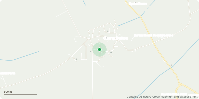
Approximate location - Contains OS data © Crown copyright and database right
Proposal
TPO - Cherry Burton - 1973 (REF 102) W1 - Remove 2 no. Sycamore trees (T001 & T002) as they pose a significant risk to the health of horses and ponies due to seed and seedling toxicity, structural and safety risks to the stable from falling branches, seasonal leaf drop, heavy seed fall and potential structural damage to stable from root pressure on foundations, leading to cracking, excessive shading cause damp accumulation on stable roof and overhanging branches making contact with roofing materials during storms; Fell 1 no. Ash tree (T003) as it is both structurally and physiologically poor and does pose the risk of potential failure which would destroy the paddock fencing and potentially injure livestock or users of the paddock
Key dates
- Received 30 Mar 2026
- Validated 30 Mar 2026
- Started 30 Mar 2026
- Decided 22 May 2026
Planning history / related applications
No related planning applications have been identified in the current public OGL dataset.
Inside plotEdge
Go beyond the public record
This page is the public OGL record. plotEdge adds the private intelligence layer for this site - open it in the app to unlock:
- Ownership & title Registered owner and title from HM Land Registry.
- Viability & build potential Site scoring and development upside.
- Constraints Flood risk, green belt, conservation areas and designations.
- Approval signal Planning risk and approval-likelihood analysis.
- Comparable applications Decisions on similar nearby sites, side by side.
- Status alerts Get notified the moment this application changes.
Source: public planning application data from East Riding of Yorkshire, reused under the Open Government Licence v3.0. View the council source record. Council documents and drawings are not republished on plotEdge.