East Hertfordshire
East Hertfordshire/X/26/0008/CND
75 High Street Ware Hertfordshire SG12 9AD
- Reference
- East Hertfordshire/X/26/0008/CND
- Authority
- East Hertfordshire
- Application type
- CND
- Address
- 75 High Street Ware Hertfordshire SG12 9AD
- Postcode
- SG12 9AD
- Status
- Decided
- Decision
- Discharge in Full
- Received
- 13 Jan 2026
- Validated
- 13 Jan 2026
- Started
- 13 Jan 2026
- Decided
- 26 Feb 2026
- Source council
- East Hertfordshire
- Council source record
- View public record
- Public data licence
- Open Government Licence v3.0
- Record updated
- 18 Jul 2026
- SEO index generated
- 24 Jul 2026
Location
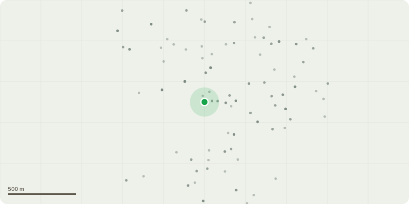
Approximate location
Proposal
Discharge of condition 3 (Materials and Lighting) attached to 3/25/1516/LBCThe main external fascia signage materials and lighting are being submitted for approval which includes the following: - A set of flat cut 5mm aluminium letters powder coated in white. - Post Office logo is to be digitally printed in red and white on matt laminated acrylic. Red colour is Pantone 186 and white colour is Perspex 069. - Letters and Post Office logo to have brass locators to the reverse for fixing to fascia painted to match grey, Pantone 419C. - The lighting above the main fascia signage consists of an aluminium trough light situated over Banking Hub lettering, painted in black / grey to match RAL 7021. Refer to drawing 01_BANKING HUB_WARE_REV 00 and trough light specification submitted as part of this application.
Key dates
- Received 13 Jan 2026
- Validated 13 Jan 2026
- Started 13 Jan 2026
- Decided 26 Feb 2026
Planning history / related applications
No related planning applications have been identified in the current public OGL dataset.
Inside plotEdge
Go beyond the public record
This page is the public OGL record. plotEdge adds the private intelligence layer for this site - open it in the app to unlock:
- Ownership & title Registered owner and title from HM Land Registry.
- Viability & build potential Site scoring and development upside.
- Constraints Flood risk, green belt, conservation areas and designations.
- Approval signal Planning risk and approval-likelihood analysis.
- Comparable applications Decisions on similar nearby sites, side by side.
- Status alerts Get notified the moment this application changes.
Source: public planning application data from East Hertfordshire, reused under the Open Government Licence v3.0. View the council source record. Council documents and drawings are not republished on plotEdge.