East Cambridgeshire
East Cambridgeshire/26/00387/TRE
Deer Park Barn 33 Station Road Dullingham Newmarket Suffolk CB8 9UP
- Reference
- East Cambridgeshire/26/00387/TRE
- Authority
- East Cambridgeshire
- Application type
- TRE
- Address
- Deer Park Barn 33 Station Road Dullingham Newmarket Suffolk CB8 9UP
- Postcode
- CB8 9UP
- Status
- Decided
- Decision
- Allow (TREE)
- Received
- 7 Apr 2026
- Validated
- 7 Apr 2026
- Started
- 7 Apr 2026
- Decided
- 14 May 2026
- Source council
- East Cambridgeshire
- Council source record
- View public record
- Public data licence
- Open Government Licence v3.0
- Record updated
- 18 Jul 2026
- SEO index generated
- 24 Jul 2026
Location
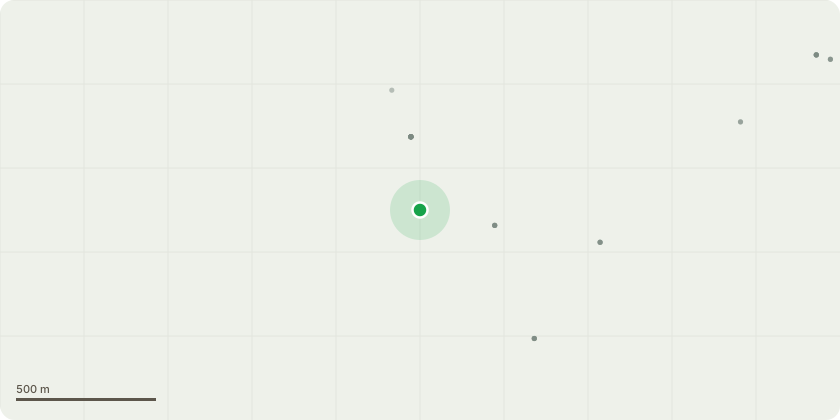
Approximate location
Proposal
T1 Horse Chestnut - Poor condition, multiple defects. Fell to ground level T2 Beech - Kretzschmaria deusta at base and leaning over stable block. Fell T3 Beech - Decay at base. Fell T4 Maple - Cavity at base and weighted over stable block. Fell T5 Maple - Weighted towards stable block. Fell T6 Maple - Poor specimen. Fell T7 Horse Chestnut - Multiple defects. Leave at 6m trunk for wildlife. T7a Alder - In decline. Fell to ground level T8 Lime - Multiple defects. Fell to ground level T9 Horse Chestnut - Reduce by 4-5 m T10 Lime - Weighted towards paddock. Partially uprooted. Fell T11 Horse Chestnut - Dead tree. Fell T12 3x Sycamore - Poor specimens. Fell T13 Lime - Corner of Paddock. Reduce by 7m to create new pollard T14 Sycamore - Heavy lean towards field. Fell T15 Ash - Signs of Ash dieback. Fell T16 Elm - Dead tree. Fell T17 Lime - Partially uprooted. Fell to ground level T18 Sycamore - Dead tree. Fell T19 Sycamore - Poor specimen. Fell T20 Sycamore - Has sooty bark disease. Weighted towards paddock. Fell T 20A Horse Chestnut - Failures throughout crown. Reduce crown spread by upto 6m T20B Horse Chestnut - Failures throughout crown. Reduce crown spread by upto 6m T21 Horse Chestnut - Weighted towards paddock. Reduce by crown spread by 5m G1 Group of Elms - All dead or dying, fell to ground level T22 Horse Chestnut - Historic failures, heavily weighted over paddock. Pollard to 8m T23 Ash - Dead tree. Fell G2 Elms - Dead Elms. Fell T24 2x Sycamore - Dead trees. Fell G3 Group of dead Elms within falling distance of paddock - Fell T25 Sycamore - Ivy clad with sooty bark disease. Reduce by 2/3m T26 Horse Chestnut - Remove deadwood and pollard to 8m T27 Sycamore - Fell. Remove fallen trees plus any dead trees T28 Sycamore - Dead tree. Fell
Key dates
- Received 7 Apr 2026
- Validated 7 Apr 2026
- Started 7 Apr 2026
- Decided 14 May 2026
Planning history / related applications
No related planning applications have been identified in the current public OGL dataset.
Inside plotEdge
Go beyond the public record
This page is the public OGL record. plotEdge adds the private intelligence layer for this site - open it in the app to unlock:
- Ownership & title Registered owner and title from HM Land Registry.
- Viability & build potential Site scoring and development upside.
- Constraints Flood risk, green belt, conservation areas and designations.
- Approval signal Planning risk and approval-likelihood analysis.
- Comparable applications Decisions on similar nearby sites, side by side.
- Status alerts Get notified the moment this application changes.
Source: public planning application data from East Cambridgeshire, reused under the Open Government Licence v3.0. View the council source record. Council documents and drawings are not republished on plotEdge.