East Cambridgeshire
East Cambridgeshire/24/01079/TRE
Dullingham Park Stud 10 Eagle Lane Dullingham Newmarket Suffolk CB8 9XB
- Reference
- East Cambridgeshire/24/01079/TRE
- Authority
- East Cambridgeshire
- Application type
- TRE
- Address
- Dullingham Park Stud 10 Eagle Lane Dullingham Newmarket Suffolk CB8 9XB
- Postcode
- CB8 9XB
- Status
- Decided
- Decision
- Allow (TREE)
- Received
- 11 Oct 2024
- Validated
- 11 Oct 2024
- Started
- 11 Oct 2024
- Decided
- 14 Nov 2024
- Source council
- East Cambridgeshire
- Council source record
- View public record
- Public data licence
- Open Government Licence v3.0
- Record updated
- 18 Jul 2026
- SEO index generated
- 24 Jul 2026
Location
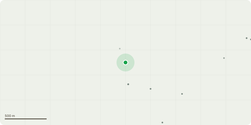
Approximate location
Proposal
101 Beech, 102 Beech, 103 Maple, 104 Elm, 104B Elm, 106 Horse Chestnut, 110 Horse Chestnut, 112 Horse Chestnut, 113 Sycamore, 114 Beech, 115 Mature Ash, 116 Sycamore, 117 Ash, Tree behind 117 Sycamore, 118 Sycamore, Horse Chestnut behind 118, 119 Beech, 120 Sycamore, 122 Sycamore, Elm next to 125, 126 Ash, Sycamore between 126 and 127, 127 Ash, 128 Ash, 130 Sycamore, Sycamore to front of 130, 131 Horse Chestnut, Group of Elms behind 131, 132 Group of 4x Sycamores, 133 Group of 4x Beech, Beech between 134 and 135, 135 Horse Chestnut, 136 Beech, 139 Beech, 141 Horse Chestnut, 142 Beech, 143 Beech, and 144 Sycamore - Fell to ground level.105 Horse Chestnut - Pollard to snag approximately 8m from ground.108 Horse Chestnut, and 134 Ash - Remove deadwood over highway.Elm between 114 and 115 - Remove.123 Beech, and 124 Beech - Reduce to 8m height, leaving as wildlife habitat.125 Sycamore Reduce to 6m in height for habitat.140 Beech - Reduce to 5m in height and leave as habitat.145 Ash, and 146 Ash - Reduce crown by 50%
Key dates
- Received 11 Oct 2024
- Validated 11 Oct 2024
- Started 11 Oct 2024
- Decided 14 Nov 2024
Planning history / related applications
No related planning applications have been identified in the current public OGL dataset.
Inside plotEdge
Go beyond the public record
This page is the public OGL record. plotEdge adds the private intelligence layer for this site - open it in the app to unlock:
- Ownership & title Registered owner and title from HM Land Registry.
- Viability & build potential Site scoring and development upside.
- Constraints Flood risk, green belt, conservation areas and designations.
- Approval signal Planning risk and approval-likelihood analysis.
- Comparable applications Decisions on similar nearby sites, side by side.
- Status alerts Get notified the moment this application changes.
Source: public planning application data from East Cambridgeshire, reused under the Open Government Licence v3.0. View the council source record. Council documents and drawings are not republished on plotEdge.