East Cambridgeshire
East Cambridgeshire/24/01041/TRE
12 Pond Green Wicken Ely Cambridgeshire CB7 5XX
- Reference
- East Cambridgeshire/24/01041/TRE
- Authority
- East Cambridgeshire
- Application type
- TRE
- Address
- 12 Pond Green Wicken Ely Cambridgeshire CB7 5XX
- Postcode
- CB7 5XX
- Status
- Decided
- Decision
- Allow (TREE)
- Received
- 3 Oct 2024
- Validated
- 3 Oct 2024
- Started
- 3 Oct 2024
- Decided
- 5 Nov 2024
- Source council
- East Cambridgeshire
- Council source record
- View public record
- Public data licence
- Open Government Licence v3.0
- Record updated
- 18 Jul 2026
- SEO index generated
- 24 Jul 2026
Location
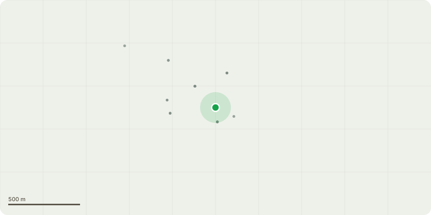
Approximate location
Proposal
T1 Green circle Elder - Remove as has partially destroyed boundary fence, obstructing the vehicular access to 12 Pond Green + growing through overhead wiring to neighbouring property 15 Butts Lane, who have registered their concerns regarding the overhanging trees.T2 Orange circle Hazel - Remove as obstructing vehicle access. Partially diseased.T3 Purple circle Gage - Cut back branches overhanging garden path of 15 Butts Lane. Removal of diseased branches.T4 Yellow circle Prunus - Remove. This shows signs of historic damage and is interspersed throughout its base with bramble and scrub undergrowth.T5 Red circle Juvenile Pear - Reduce crown by up to 1 m to contain growth and protect Number 10 Pond Green fence and prevent encroachment into vehicle access of Number 12.T6 Blue circle Apple tree - Remove to provide sufficient clearance to property wall and the extension roof. There is another mature apple tree already within the garden, shown on P1 plan. Another could be added in this area in mitigation if required.Please note - I have just purchased the property and am not aware of any TPOs. There is a good deal of scrub and undergrowth on site which hinders getting any further into the garden. There may be more small trees further back but they will be left as they are
Key dates
- Received 3 Oct 2024
- Validated 3 Oct 2024
- Started 3 Oct 2024
- Decided 5 Nov 2024
Planning history / related applications
No related planning applications have been identified in the current public OGL dataset.
Inside plotEdge
Go beyond the public record
This page is the public OGL record. plotEdge adds the private intelligence layer for this site - open it in the app to unlock:
- Ownership & title Registered owner and title from HM Land Registry.
- Viability & build potential Site scoring and development upside.
- Constraints Flood risk, green belt, conservation areas and designations.
- Approval signal Planning risk and approval-likelihood analysis.
- Comparable applications Decisions on similar nearby sites, side by side.
- Status alerts Get notified the moment this application changes.
Source: public planning application data from East Cambridgeshire, reused under the Open Government Licence v3.0. View the council source record. Council documents and drawings are not republished on plotEdge.