Ealing
Ealing/261855CND
Gurnell Leisure Centre Ruislip Road East West Ealing W13 0AL
- Reference
- Ealing/261855CND
- Authority
- Ealing
- Application type
- CND
- Address
- Gurnell Leisure Centre Ruislip Road East West Ealing W13 0AL
- Postcode
- W13 0AL
- Status
- Pending Consideration
- Received
- 5 May 2026
- Started
- 5 May 2026
- Source council
- Ealing
- Council source record
- View public record
- Public data licence
- Open Government Licence v3.0
- Record updated
- 18 Jul 2026
- SEO index generated
- 24 Jul 2026
Location
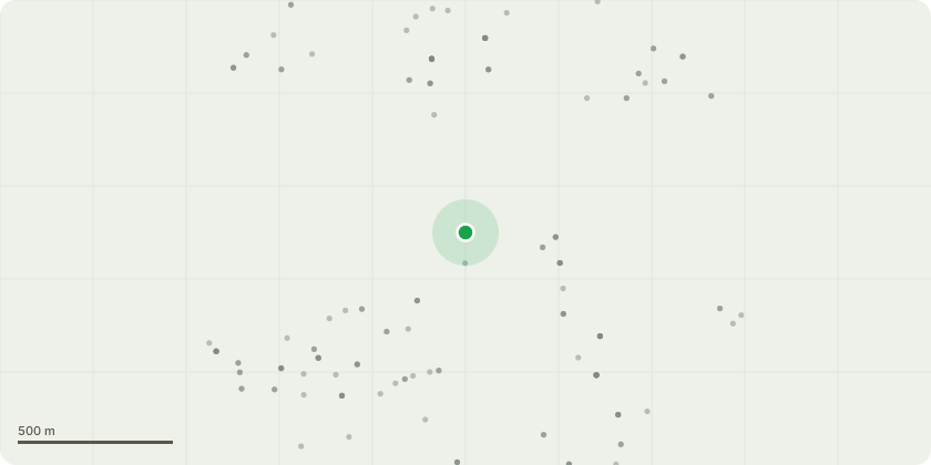
Approximate location
Proposal
Details of Air Quality and Dust Management Plan (AQDMP) pursuant to condition 28 of planning permission ref: 241706OUTR3 dated 21.03.2025 for: Hybrid planning application for comprehensive phased development incorporating the redevelopment of all existing buildings and structures and construction of new buildings comprising: ''Full planning permission for the construction of a replacement leisure centre (Use Class F2(d)), including new car / coach / cycle parking and vehicular / pedestrian access arrangements, associated highways works, new and replacement play space, public realm, landscaping and flood management to existing public open space. Outline planning permission (means of access not reserved) for about 300 affordable and market housing enabling residential development (Use Class C3), public realm, play and amenity space and open space improvements''. (Regulation 3 Application by London Borough of Ealing) (Revised red line boundary) The proposals represent a Departure from the Development Plan that is not in accordance with the development plan in force in the area, being a Major Development on land designated as Metropolitan Open Land and comprising public open space.
Key dates
- Received 5 May 2026
- Started 5 May 2026
Planning history / related applications
No related planning applications have been identified in the current public OGL dataset.
Inside plotEdge
Go beyond the public record
This page is the public OGL record. plotEdge adds the private intelligence layer for this site - open it in the app to unlock:
- Ownership & title Registered owner and title from HM Land Registry.
- Viability & build potential Site scoring and development upside.
- Constraints Flood risk, green belt, conservation areas and designations.
- Approval signal Planning risk and approval-likelihood analysis.
- Comparable applications Decisions on similar nearby sites, side by side.
- Status alerts Get notified the moment this application changes.
Source: public planning application data from Ealing, reused under the Open Government Licence v3.0. View the council source record. Council documents and drawings are not republished on plotEdge.