Ealing
Ealing/254815CNDR3
Northolt High School Eastcote Lane Northolt UB5 4HP
- Reference
- Ealing/254815CNDR3
- Authority
- Ealing
- Application type
- CNDR
- Address
- Northolt High School Eastcote Lane Northolt UB5 4HP
- Postcode
- UB5 4HP
- Status
- Approved
- Decision
- Approved
- Received
- 15 Dec 2025
- Validated
- 15 Dec 2025
- Started
- 15 Dec 2025
- Decided
- 16 Jan 2026
- Source council
- Ealing
- Council source record
- View public record
- Public data licence
- Open Government Licence v3.0
- Record updated
- 18 Jul 2026
- SEO index generated
- 24 Jul 2026
Location
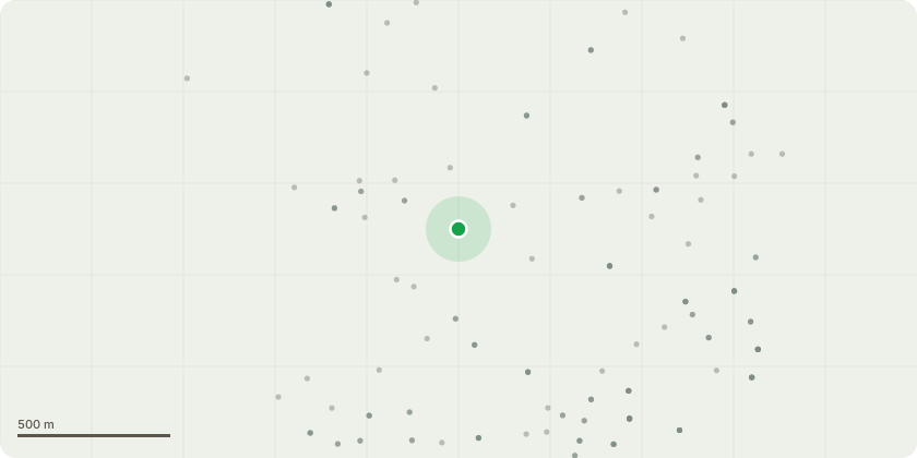
Approximate location
Proposal
Details of pv panels pursuant to condition 40 of planning permission reference 243098VAR dated 08/11/2024 for: Minor material amendment (S.73) to vary conditions no.26 (External Sports Facilities Hours of Use) and no.28 (Enclosures and Sound Barriers) seeking to allow changes on the conditions wording in pursuant to planning permission reference 233596FUL dated 14/02/2024 for 'Phased redevelopment of the site to provide a part two (double height space), part three storey educational building for use as a 6 form entry secondary school with sixth form and additional resource provision (ARP) accommodation; extension to existing sport pitches; installation of three court multi-use games area (MUGA); modification of access points, including the provision of ARP drop off and pick up on Eastcote Lane (south); and associated car parking, landscaping, refuse storage, cycle parking and boundary treatment (following demolition of existing school buildings and other associated works) (Use Class F1)
Key dates
- Received 15 Dec 2025
- Validated 15 Dec 2025
- Started 15 Dec 2025
- Decided 16 Jan 2026
Planning history / related applications
No related planning applications have been identified in the current public OGL dataset.
Inside plotEdge
Go beyond the public record
This page is the public OGL record. plotEdge adds the private intelligence layer for this site - open it in the app to unlock:
- Ownership & title Registered owner and title from HM Land Registry.
- Viability & build potential Site scoring and development upside.
- Constraints Flood risk, green belt, conservation areas and designations.
- Approval signal Planning risk and approval-likelihood analysis.
- Comparable applications Decisions on similar nearby sites, side by side.
- Status alerts Get notified the moment this application changes.
Source: public planning application data from Ealing, reused under the Open Government Licence v3.0. View the council source record. Council documents and drawings are not republished on plotEdge.