Ealing
Ealing/250949FUL
International Trading Estate Trident Way Southall UB2 5LF
- Reference
- Ealing/250949FUL
- Authority
- Ealing
- Application type
- Full permission
- Address
- International Trading Estate Trident Way Southall UB2 5LF
- Postcode
- UB2 5LF
- Status
- Granted with S106 conditions
- Decision
- Grant with S106 Obligations
- Received
- 7 Mar 2025
- Validated
- 7 Mar 2025
- Started
- 7 Mar 2025
- Decided
- 19 Dec 2025
- Source council
- Ealing
- Council source record
- View public record
- Public data licence
- Open Government Licence v3.0
- Record updated
- 18 Jul 2026
- SEO index generated
- 24 Jul 2026
Location
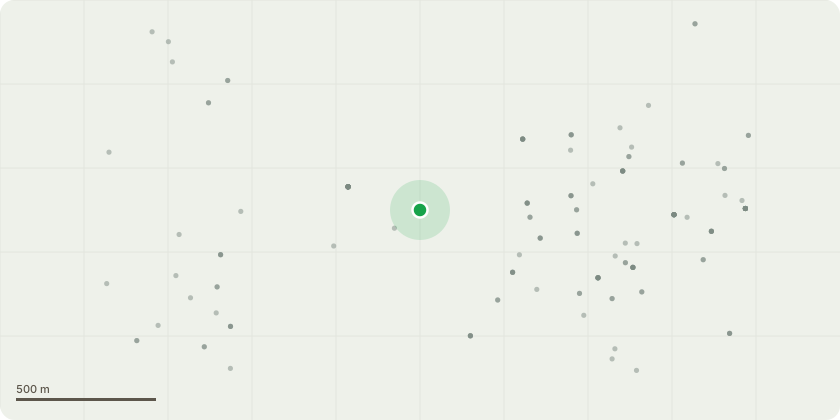
Approximate location
Proposal
Site clearance and preparation, including demolition of all existing buildings on site and redevelopment of the site to provide: Construction of four data centre units within three buildings of approximately 67.9m AOD in height (Use Class B8, approximately 158,702sqm GEA), four industrial buildings ranging from approximately 41.3m to 46.2m AOD in height (Use Classes B8, B2 and E(g)(iii), approximately 23,389 GEA), central pavilion building of approximately 35m AOD in height (Use Class E(b), approximately 223 GEA), two substations (38.05m AOD in height), associated plant, enclosures and necessary physical security systems, internal roads, servicing, circulation, car and cycle parking and hard and soft landscaping works. This application is accompanied by an Environmental Statement for the purposes of Environmental Impact Assessment under The Town and Country Planning (Environmental Impact Assessment) Regulations 2017 (as amended).
Key dates
- Received 7 Mar 2025
- Validated 7 Mar 2025
- Started 7 Mar 2025
- Decided 19 Dec 2025
Planning history / related applications
No related planning applications have been identified in the current public OGL dataset.
Inside plotEdge
Go beyond the public record
This page is the public OGL record. plotEdge adds the private intelligence layer for this site - open it in the app to unlock:
- Ownership & title Registered owner and title from HM Land Registry.
- Viability & build potential Site scoring and development upside.
- Constraints Flood risk, green belt, conservation areas and designations.
- Approval signal Planning risk and approval-likelihood analysis.
- Comparable applications Decisions on similar nearby sites, side by side.
- Status alerts Get notified the moment this application changes.
Source: public planning application data from Ealing, reused under the Open Government Licence v3.0. View the council source record. Council documents and drawings are not republished on plotEdge.