Ealing
Ealing/244899CND
The Straight Southall Middlesex UB1 1QX
- Reference
- Ealing/244899CND
- Authority
- Ealing
- Application type
- CND
- Address
- The Straight Southall Middlesex UB1 1QX
- Postcode
- UB1 1QX
- Status
- Approved
- Decision
- Approved
- Received
- 24 Dec 2024
- Validated
- 24 Dec 2024
- Started
- 24 Dec 2024
- Decided
- 31 Jan 2025
- Source council
- Ealing
- Council source record
- View public record
- Public data licence
- Open Government Licence v3.0
- Record updated
- 18 Jul 2026
- SEO index generated
- 24 Jul 2026
Location
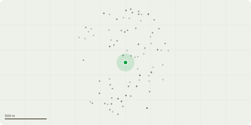
Approximate location
Proposal
Details of a site remediation plan part pursuant to condition 38 (Linear Park Phase 3 section 2/3) of planning permission Ref: 171562VAR dated 16.10.2017 'Section 73 application for minor amendment to vary condition 3 (approved drawings) to amend the outline scheme drawings and removal of condition 41 (details of soakaways) of outline planning permission reference PP/2015/4682 dated 18.02.16 for demolition of 22 houses; the remediation of the land and the redevelopment of the site to deliver a large mixed use development including residential, non-food retail, food retail, restaurants, bars and cafes, hotel, conference and banqueting, cinema, health care facilities, education facilities, office/studio units, car park, sports pavilion, an energy centre, multi-storey car park and associated car and cycle parking, landscaping, public realm, open space and children's play space., Full application: new access roads from the Hayes-By-Pass and Southall town centre to the application site for vehicle, cycle and pedestrian access, including drainage and a flood relief pond. Widening of South Road across the railway line, for the creation of a bus lane and three new accesses onto Beaconsfield Road. Two bridges over the Grand Union Canal and Yeading Brook to provide pedestrian and cycle access to Minet Country Park and Springfield Road. The quantum of development remains the same as the original scheme with the exception that the proposed development includes revised positioning of the hotel, supermarket and banqueting hall; the removal of the multi-storey car park to be replaced by basement car parking spaces; the removal of the east/west bus and taxi route through the Civic Square to be replaced by a dedicated pedestrian route and use for emergency vehicular access; proposed changes to the horizontal and vertical (height differences ranging between minus 4.5m and plus 17.5m) parameters and the locations of ground and upper floor uses; with an amendment to the spatial arrang
Key dates
- Received 24 Dec 2024
- Validated 24 Dec 2024
- Started 24 Dec 2024
- Decided 31 Jan 2025
Planning history / related applications
No related planning applications have been identified in the current public OGL dataset.
Inside plotEdge
Go beyond the public record
This page is the public OGL record. plotEdge adds the private intelligence layer for this site - open it in the app to unlock:
- Ownership & title Registered owner and title from HM Land Registry.
- Viability & build potential Site scoring and development upside.
- Constraints Flood risk, green belt, conservation areas and designations.
- Approval signal Planning risk and approval-likelihood analysis.
- Comparable applications Decisions on similar nearby sites, side by side.
- Status alerts Get notified the moment this application changes.
Source: public planning application data from Ealing, reused under the Open Government Licence v3.0. View the council source record. Council documents and drawings are not republished on plotEdge.